- Do you do Aboriginal heritage mapping in Adelaide?
- Yes. Aus-OMI is based in Adelaide, on Kaurna Country, and maps Aboriginal cultural heritage across South Australia with multiarray GPR and LiDAR. Work is commissioned under Traditional Owner direction, with a qualified heritage professional.
- How do you work with Traditional Owners?
- The organisation decides the question, access, equipment, data ownership, who may view the record, whether coordinates or imagery may leave the organisation, and whether anything is published. We supply geophysics and spatial evidence. Cultural authority stays with Traditional Owners.
- What can GPR and LiDAR record on Aboriginal heritage places?
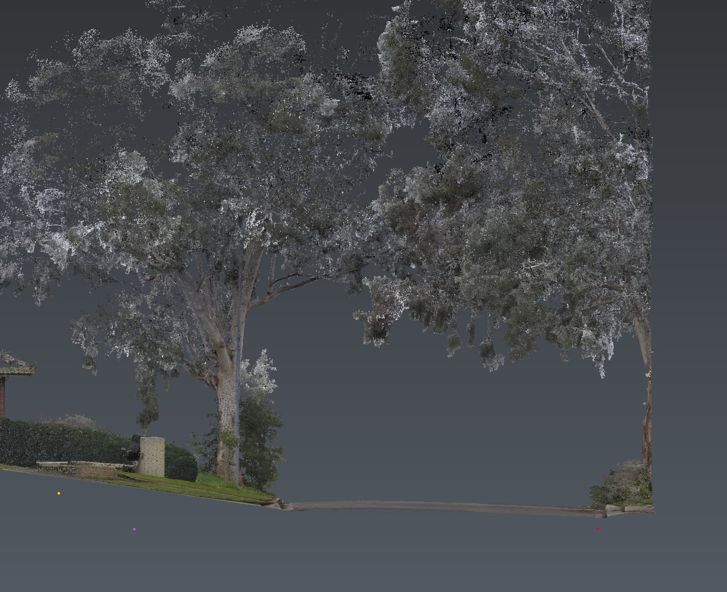
- LiDAR records the place as it is: scarred trees, landform, rockshelter setting, paths and the ground around them. Multiarray GPR maps subsurface response — disturbed ground, voids, former structures — with coverage and confidence stated. Meaning and significance are not a geophysical call.
- Is this an Aboriginal heritage assessment under the Aboriginal Heritage Act 1988?
- It is the spatial and geophysical evidence that assessment is written from. The qualified heritage professional and Traditional Owners own the assessment, consultation and statutory process. Restricted cultural information is never the default public deliverable.
- Do you map scarred trees and Aboriginal cultural places in Adelaide?
- Yes. Georeferenced LiDAR of scarred trees, associated landform and surrounding terrain, and targeted multiarray GPR where Traditional Owners request subsurface investigation. Records can be issued as a restricted GIS or 3D register the organisation controls.