
Method 02
EMI locating
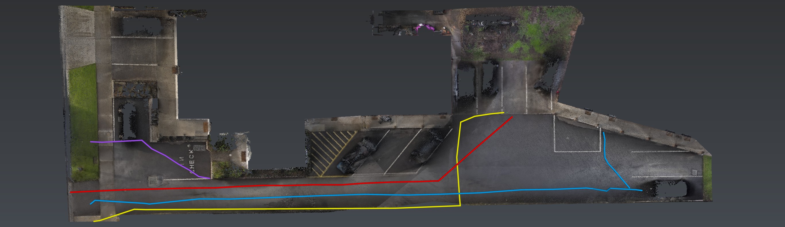
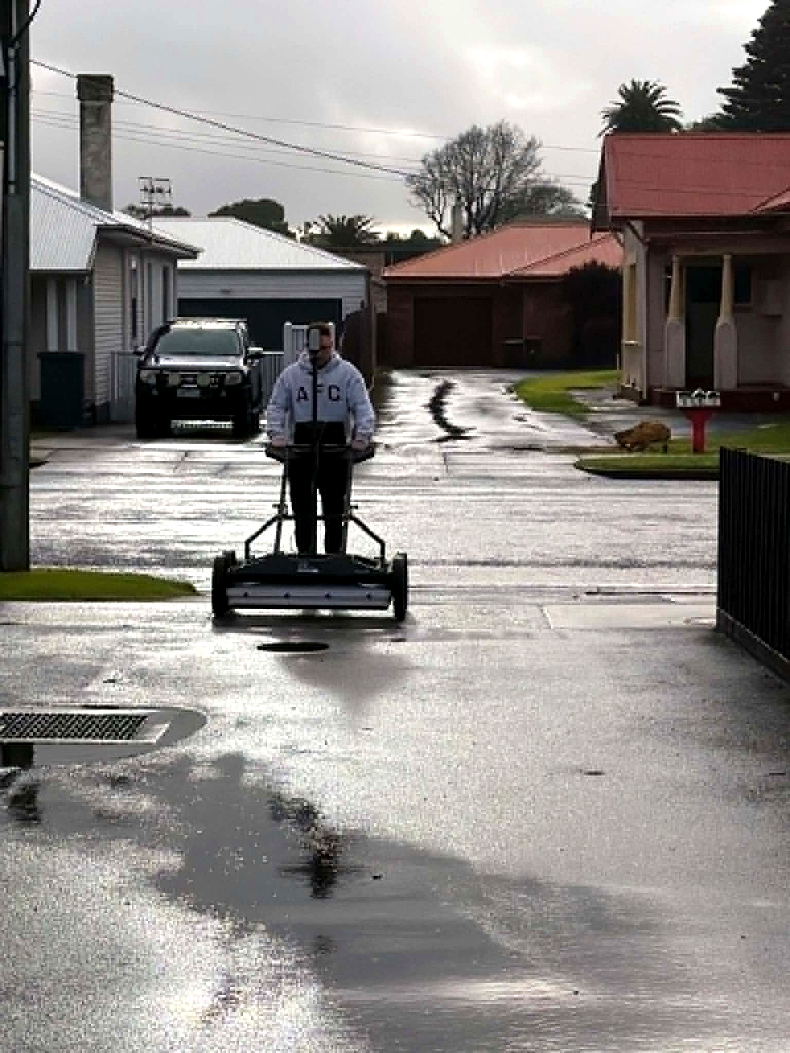
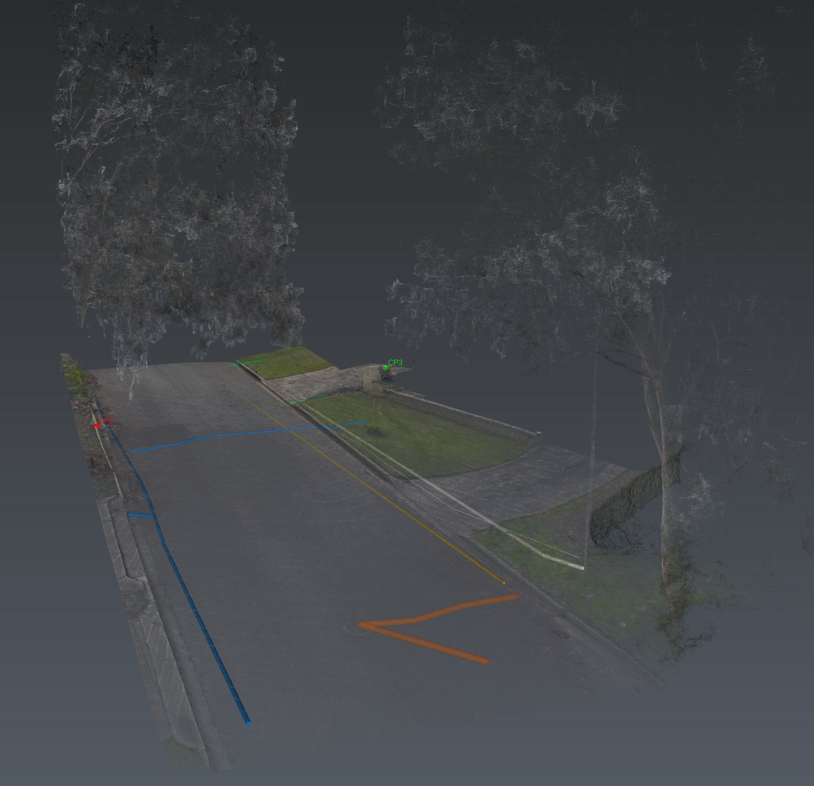
Conductive utilities, traced so every mark lives in the same model as the GPR. This page is the instrument and the georeferenced mark.
Electromagnetic locating remains the fastest way to resolve live conductive services. Aus-OMI georeferences those traces as they are found — not sketched later from memory.
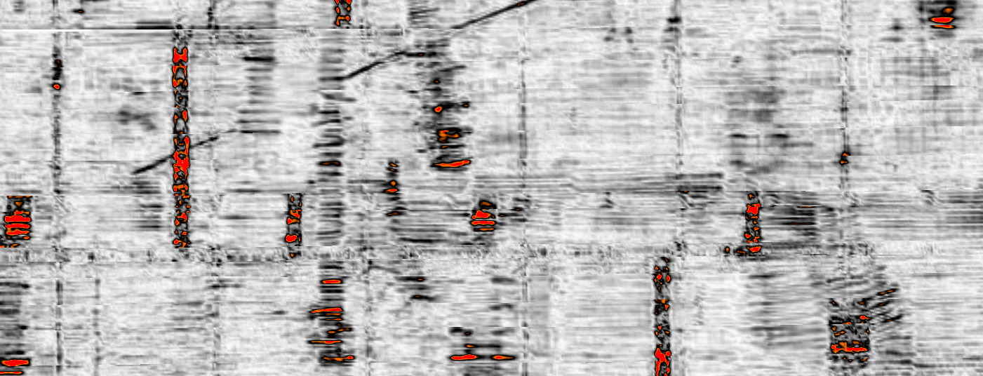
Combined with multiarray GPR, EMI is how we cross-verify: what the induction says, what the radar sees, and where the two disagree. That disagreement is where risk lives. We write it down.
Active construction sites, suburban streets, rural holdings with no records. Same method. Same insistence that a mark without a coordinate is not intelligence.
Also in Adelaide
The same investigation, other jobs.
EMI locating is a method. The same investigation is also used on these jobs.
Also in the van
How we investigate — the six movements, not this instrument. View all methods. Planted steel is Relative Loss.
Next
Send the drawings.
We reduce uncertainty before works begin.
Corridor, precinct, brownfield or a street with no records. Brief us from Adelaide. We work Australia-wide.