
What we found
Utilities and features classified — type, depth, evidence attached.
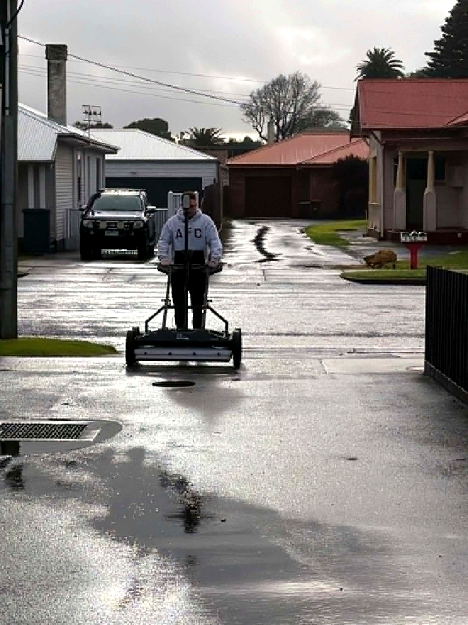
Investigation
A digital site intelligence report from multiarray GPR, electromagnetic locating and reality capture. Findings with evidence. Coverage you can see. Unknowns written down. Based in Adelaide. Working Australia-wide.
Uncertainty
Utilities and features classified — type, depth, evidence attached.
Zero in a covered area is a result. It is written down as such.
Residual unknowns, stated plainly. Not buried in a footnote.
An Aus-OMI rating. Separate from AS 5488 quality level.
Where to expose, avoid, or proceed. The decision, not a maybe.
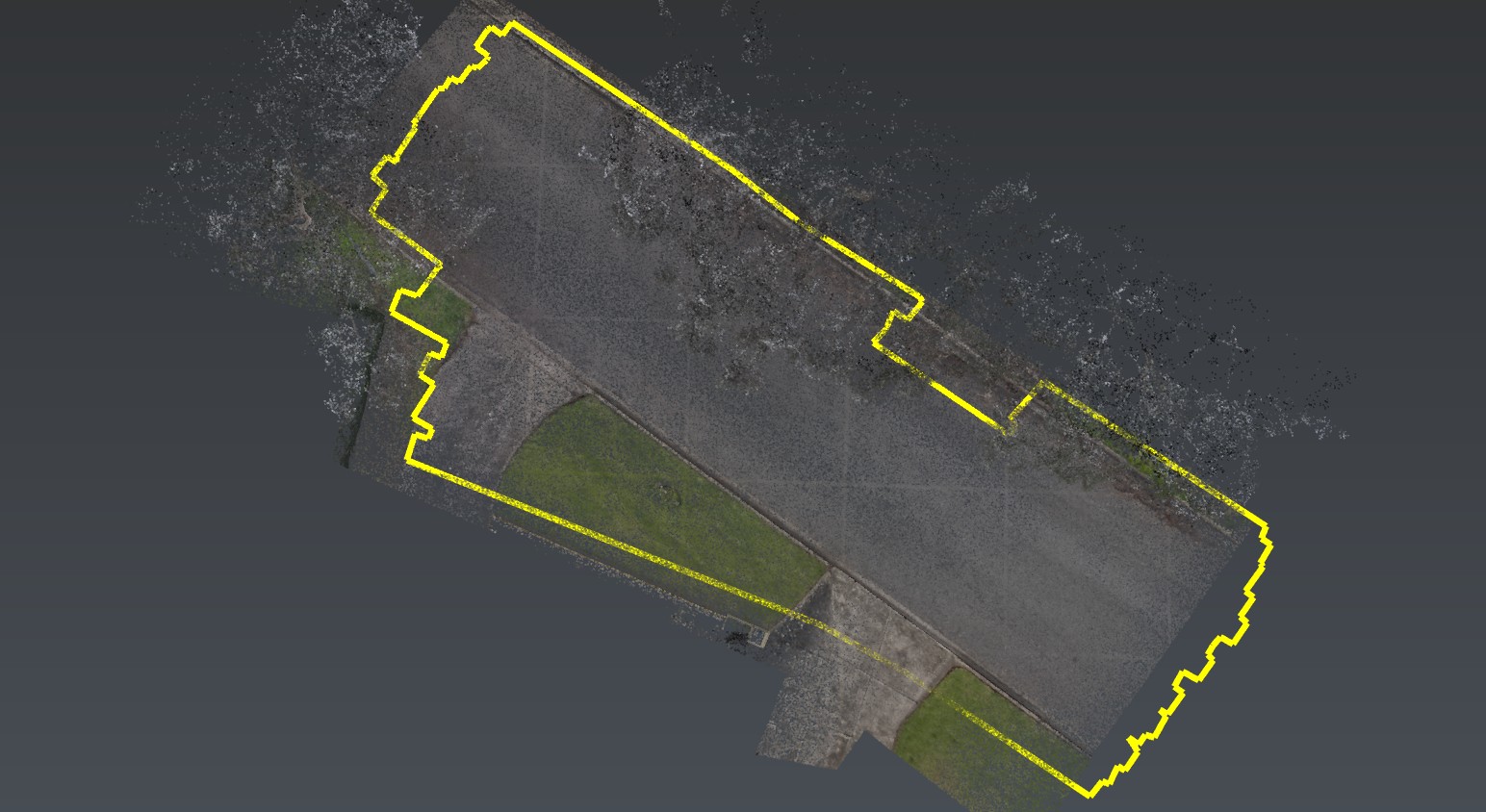
Coverage + limits
Planned extent, acquired extent, processed extent, final interpreted. Exclusions, reduced-quality zones and no-response ground are named. If it was not covered, the report says so.
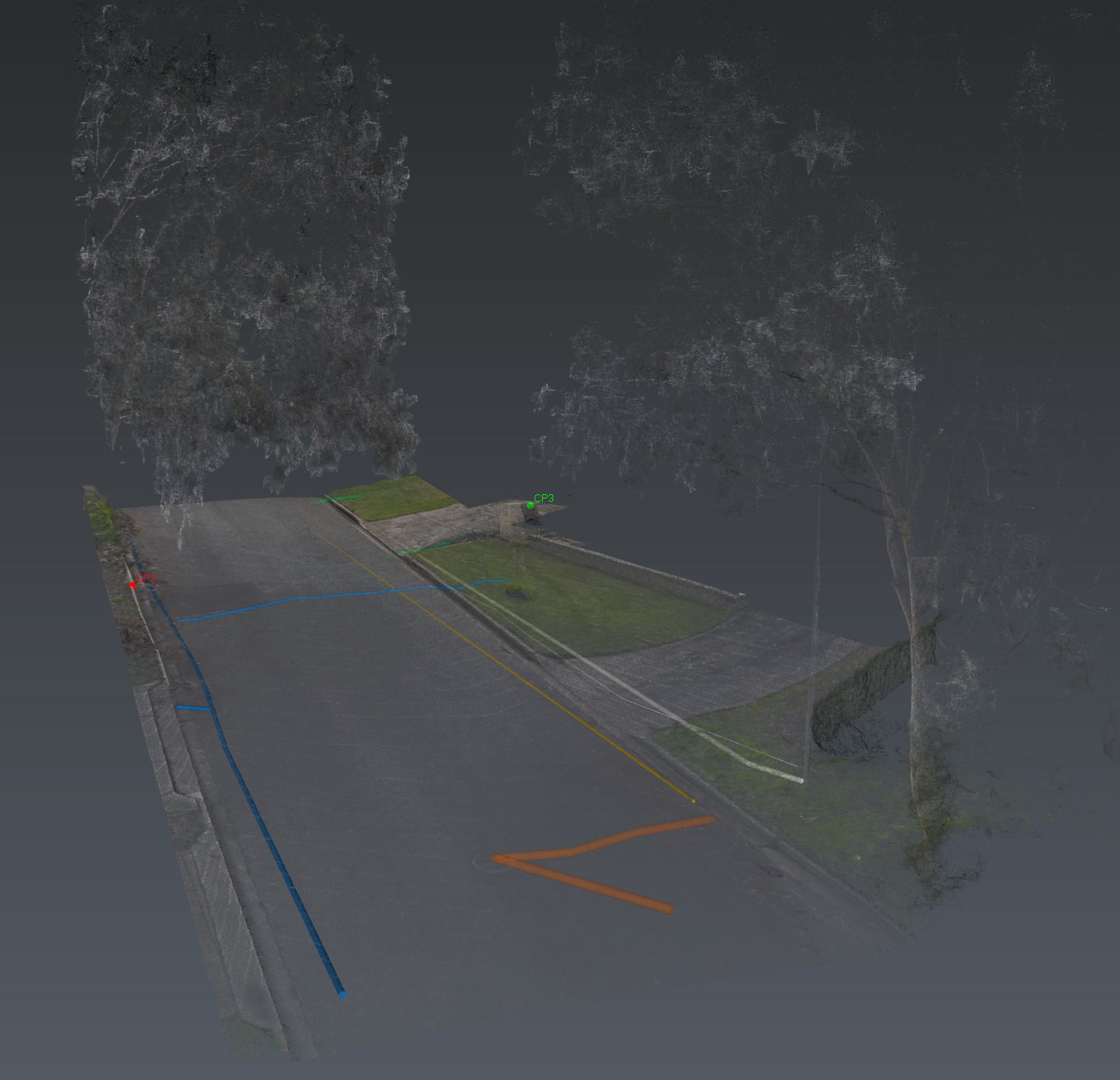
Integrated site
One coordinated view of surface structure, interpreted utilities, unknown features and critical zones — spatially related, not layered as an afterthought.

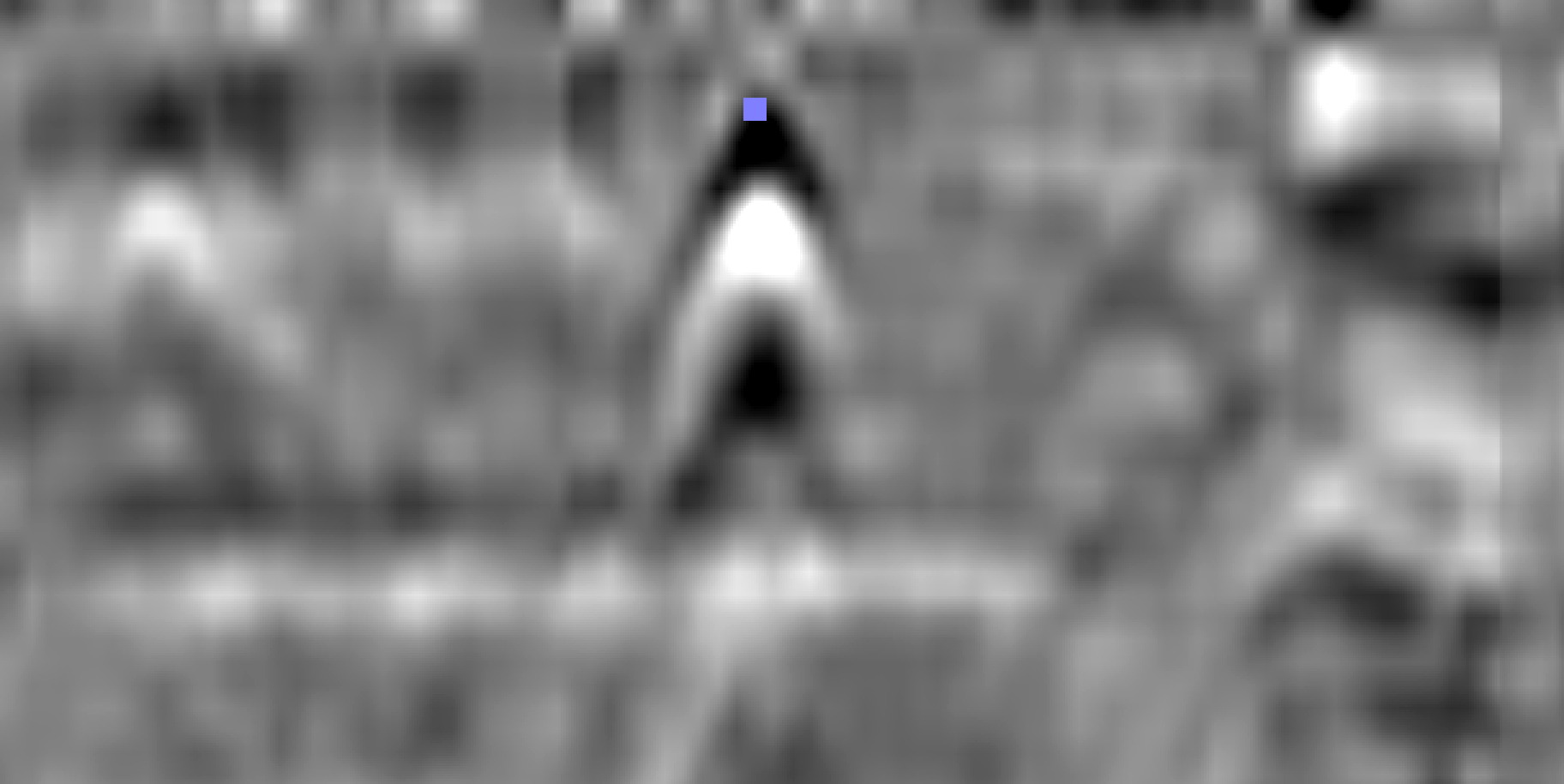
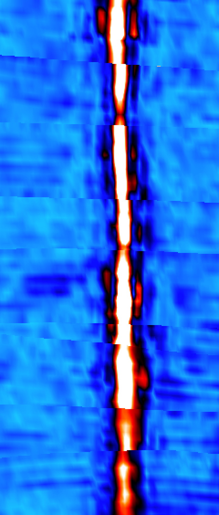
Direct evidence
Each significant finding carries its evidence: the B-scan, the pick, the depth, the type. Interpretation confidence is rated. AS 5488 quality level is assigned feature by feature. The three are never collapsed into one number.
Reliability
The evidence source: records, surface correlation, geophysical detection, or exposed verification. Assigned feature by feature. GPR or SLAM alone does not establish QL-A.
How strongly the evidence supports the call. High is earned. It is never a substitute for quality level.
Spatial uncertainty of the measurement. Processing consistency is not absolute position. Reported separately.
How we investigate a site
Positioning confidence is set before anything is interpreted. Precision, registration and interpretation stay separate.
Multiarray GPR and electromagnetic locating — conductive, non-conductive, unknown. The ground is imaged, not guessed.
Reality capture of the site as it is: surface, assets, geometry. Indoor and GPS-denied ground included.
Each significant finding is tied to a radar response, a depth, a type, a confidence. Methods check each other.
GPR, EMI and the site model in one coordinated frame — not three files that almost line up.
A digital site intelligence report plus the spatial package. What we found, what we did not, what remains uncertain, what should happen next.
Platform
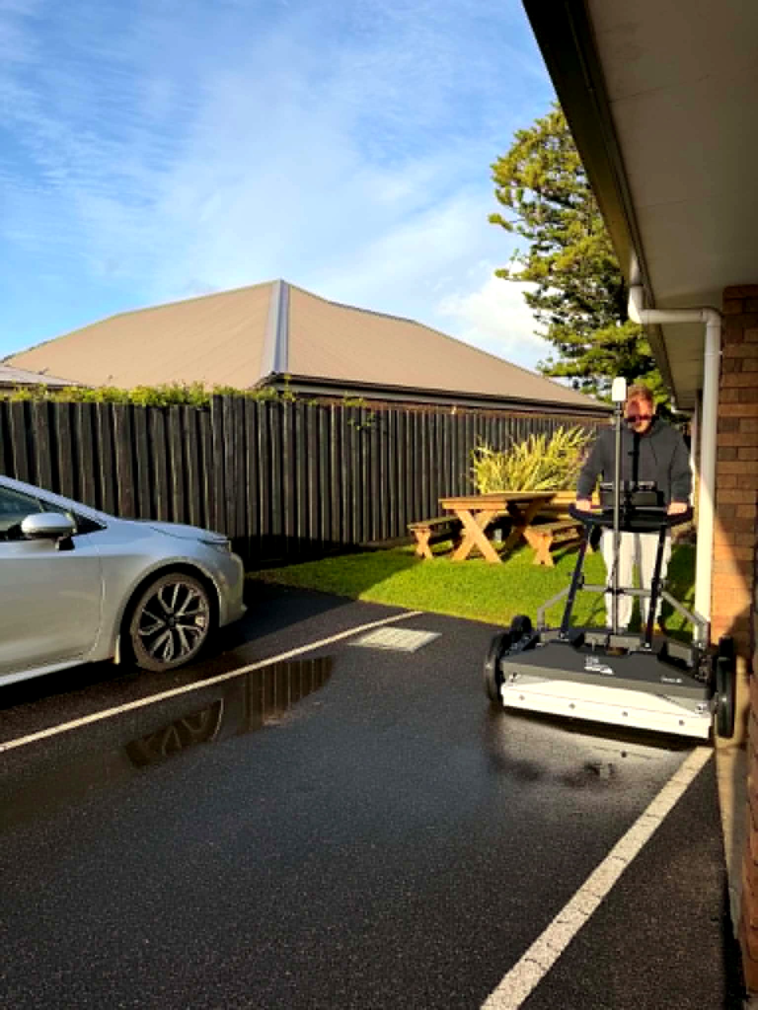
Multiarray GPR
Thirty channels, dual polarisation (19 VV + 11 HH). Equalized scrambled Technology (EsT) holds depth and resolution in the same pass. One operator. uMap in the field.
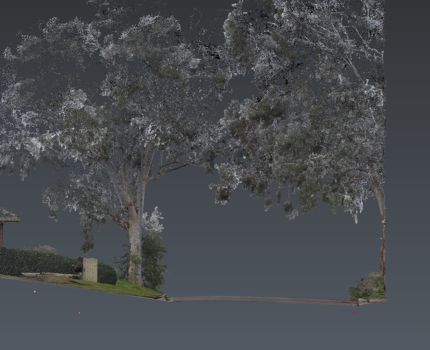
Reality capture
GNSS RTK, laser SLAM and visual SLAM on one handheld. Site context where satellites drop out. The world the subsurface sits in, in the same frame.
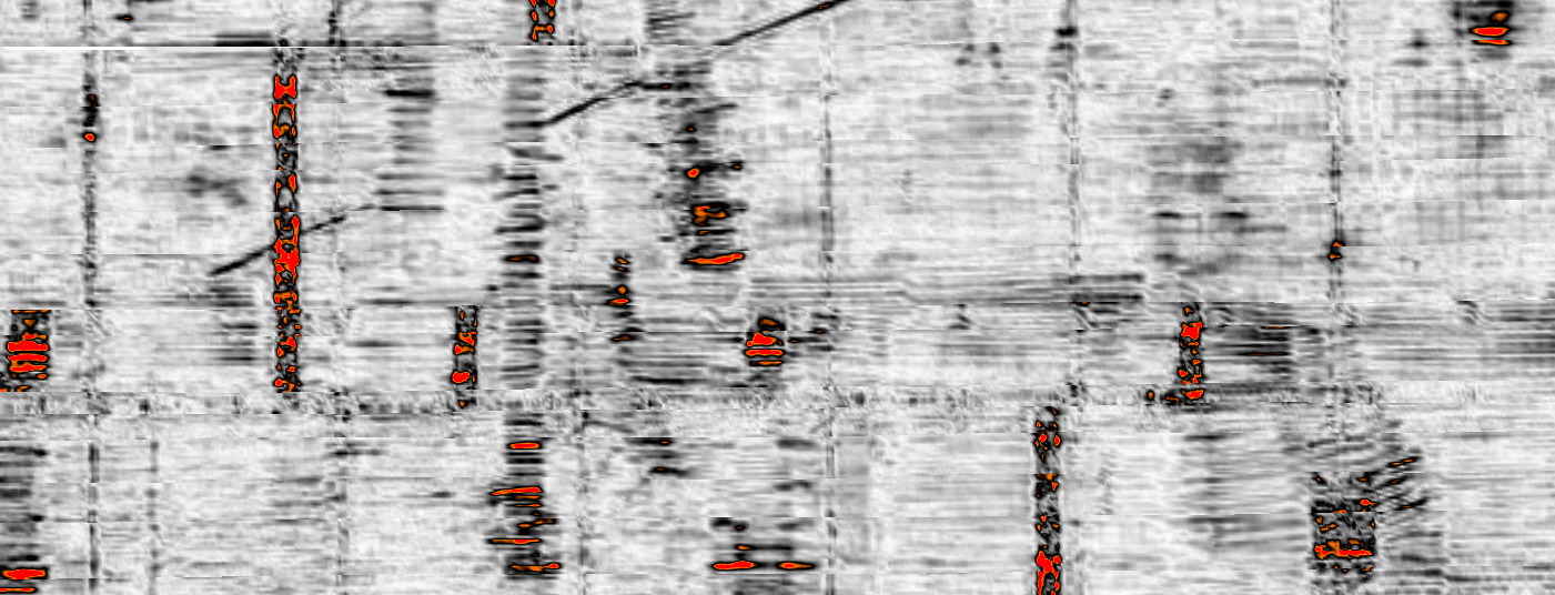
Processing
The office layer. Real-time processing, tomographic slicing, 3D visualisation and georeferenced feature extraction. Radargrams become a coordinated model.
Digital record
Decision support, communication, and the project record.
Surface and subsurface in one environment, for review.
Communications, drainage, electrical, water, sewer, gas, unknown — for design coordination.
Lightweight spatial review.
Site point cloud for context and measurement.
Coordinate system, datum, accuracy statement, processing record.
Applications
Next
Corridor, precinct, brownfield or a street with no records. Brief us from Adelaide. We work Australia-wide.