
01
Before you cut
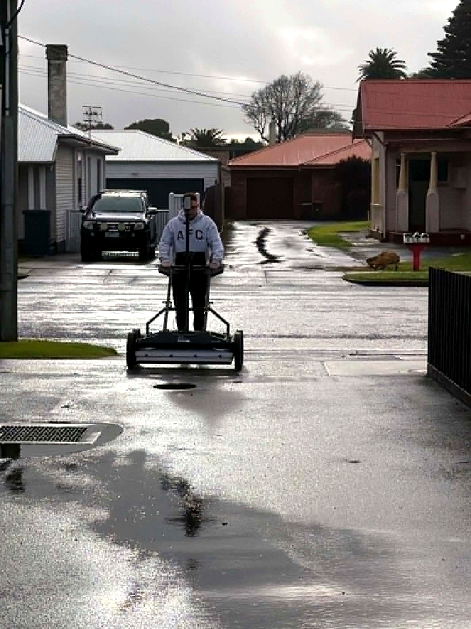
Existing surface model plus shallow utility investigation — multiarray GPR and electromagnetic locating — and a conflict plan against the planned mill or excavation depth.
Pavement and hardstand construction mapping · Adelaide
Map what existed. Verify what matters. Measure what was removed. Document what was built.
Shallow utilities, verified exposures, removal volumes and a final as-built record — one controlled spatial environment from pre-start to handover, for asphalt contractors, civil contractors, councils and industrial asset owners in Adelaide.
Adelaide · South Australia · Australia-wide
The same investigation, continued through construction.
A Digital Site Intelligence vertical — the same controlled record Aus-OMI already issues before works begin, continued through pavement and hardstand reconstruction: what existed, what was detected, what was physically verified, what was removed, and what was built.
The problem
Brownfield reconstruction rarely fails for want of a single mark. Paint, a hydro-vac photograph, a few levels, a pile docket and a finished surface that no longer shows what was underneath — issued by different people, on different days. Shallow services sit in the mill. Quantities have to be defended. The formation is only visible for a short construction window.
The model
Existing surface, GPR and EMI, verified test holes, stripped surface, removal volume and the completed pavement — switched on and off in one environment.
Demonstration model
Illustrative model. Project deliverables use site-specific investigation, capture and design data.
Sequence
Not every job buys the full sequence. The front end stands alone. Stripped-surface and as-built stages are the continuation of a report the contractor already has.
01
Existing surface model plus shallow utility investigation — multiarray GPR and electromagnetic locating — and a conflict plan against the planned mill or excavation depth.
02
Pothole locations selected for decision value. A suitable NDD contractor exposes the service. Aus-OMI records the exposure and classifies it in the same model.
03
Verified points, interpreted lines, records-only information and unresolved anomalies kept distinct on the ground and on the plan — before the machine starts.
04
Stripped-surface capture once the pavement is clean. Cut-depth heat map, solid geometric removal volume, cross-sections, under-removal and over-excavation.
05
Optional hold-point capture of formation, subbase, basecourse or intermediate asphalt — a record before each layer is concealed.
06
Finished surface, grades and crossfall, tie-in levels, design-to-as-built deviation, and an updated utility model beneath the completed pavement.
Responsibility
Handover
PDF for the decision. CAD, GIS, point cloud and a staged 3D model for the drawing that comes next. Verified, interpreted, records-only and unresolved features stay labelled as what they are.
01
Methodology, control and site note
02
Existing and finished surface models
03
Utility interpretation and conflict plan
04
Pothole register with photographs
05
Cut-depth heat map and solid volume
06
CAD / GIS, point cloud and staged 3D
Volume is informational construction evidence unless a payment method is agreed in writing. Quality Level A, where assigned, applies at the exposure point.
Questions
Also in Adelaide
Pavement mapping uses the same GPR, locating and reality-capture investigation. Those methods are described on their own pages.
Next
A mill-and-replace, a hardstand upgrade, a carpark with unknown services. Send the footprint and the planned depths. Brief us from Adelaide. We work Australia-wide.