
Method 04
3D radar tomography
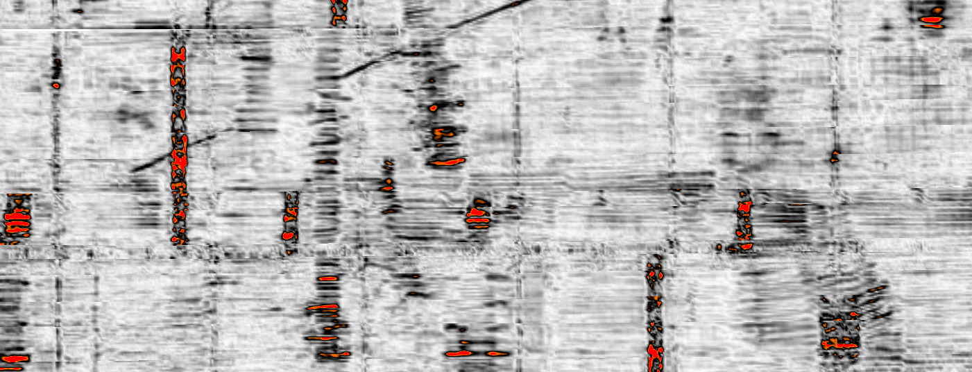
Tomographic slicing of dense array GPR so overlapping utilities, unknown assets and depth-separated features can be read as structure — a volume, not a single noisy line.
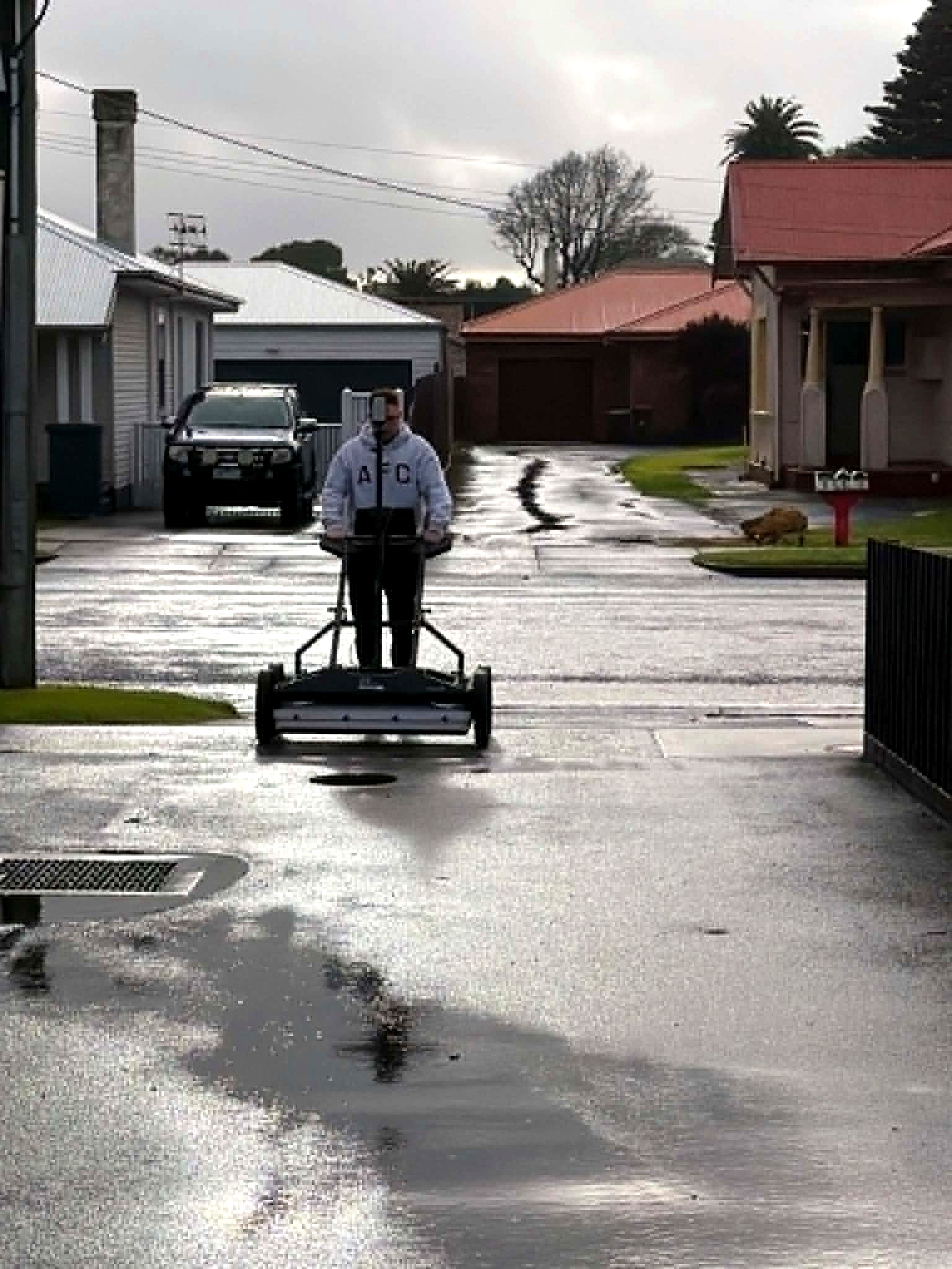
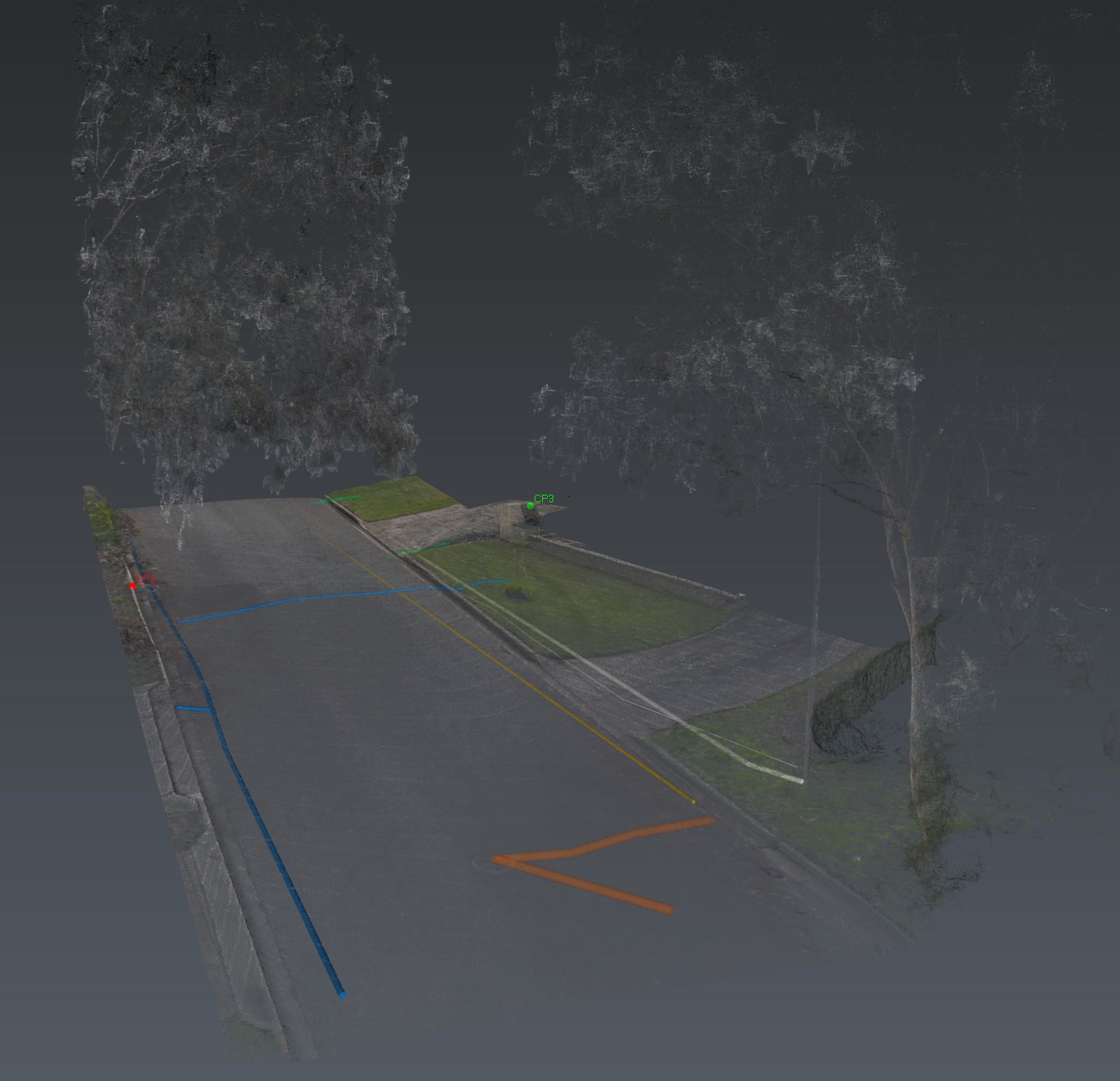
A congested corridor will lie to a single GPR channel. Stream DP tomography treats the subsurface as a volume: time slices, depth isolation, and the ability to separate what sits on top of what.
A time-slice is a plan of the ground at a chosen depth. Linear utilities light up as continuous traces. A large stormwater main reads as a bright, continuous reflector. Reinforcement in a slab appears as a grid. That is the difference between a noisy line and a map.
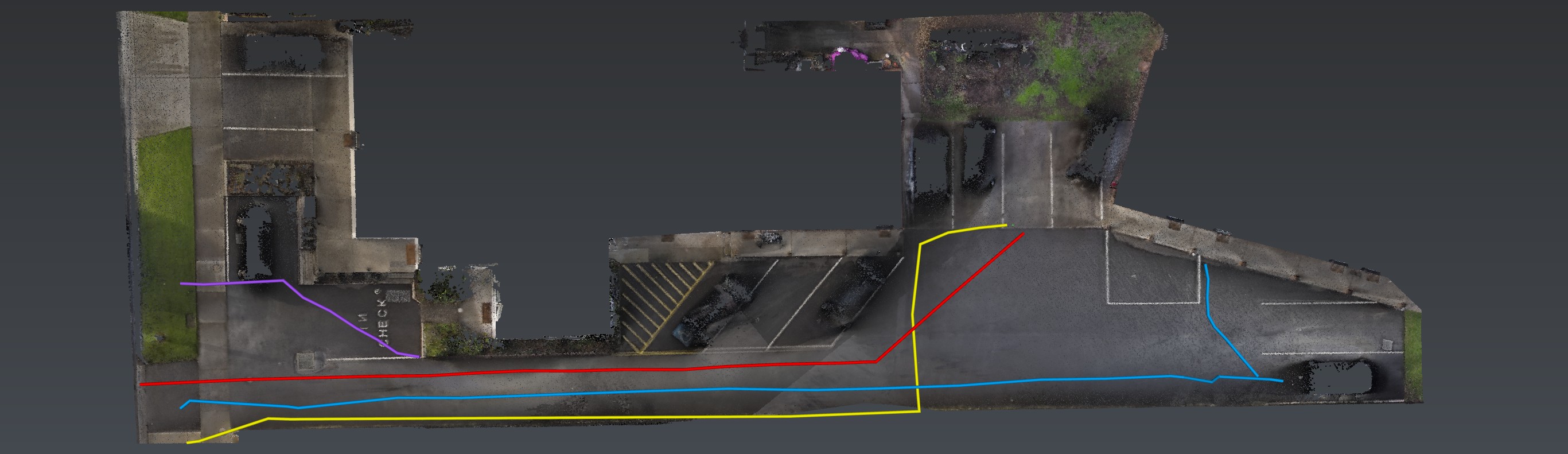
The output is a layered subsurface model the engineer can interrogate — not a PDF of squiggles and a shrug.
Also in Adelaide
The same investigation, other jobs.
3D radar tomography is a method. The same investigation is also used on these jobs.
Also in the van
How we investigate — the six movements, not this instrument. View all methods. Planted steel is Relative Loss.
Next
Send the drawings.
We reduce uncertainty before works begin.
Corridor, precinct, brownfield or a street with no records. Brief us from Adelaide. We work Australia-wide.