
We are not selling a scanner
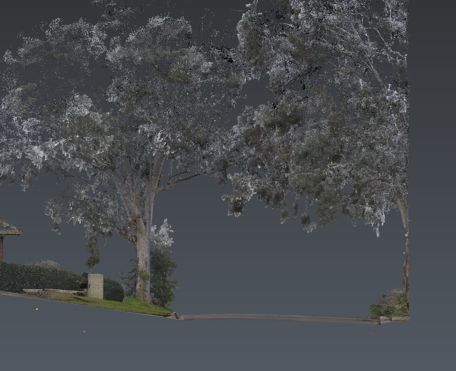
The client is not buying a CHCNAV RS10. They are buying below-ground conditions connected to real-world site geometry. LiDAR, GNSS RTK, laser SLAM and visual SLAM are the context layer of the same investigation as the GPR and the EMI.
If you only need a pretty point cloud, say so. If you need the cloud and the subsurface in one frame, that is the job.