
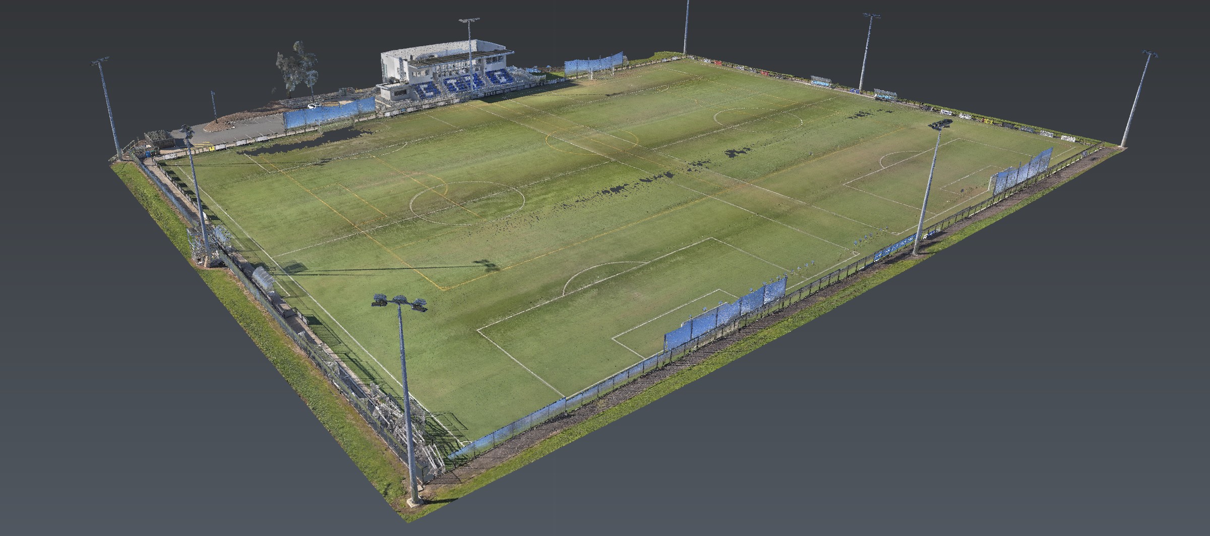
Open precinct in Adelaide — accessible ground for multiarray GPR and reality capture

Heritage, archaeological and Aboriginal mapping · Adelaide

The place, the ground
and the record.

Multiarray GPR · LiDAR · spatial modelling

Non-invasive mapping of buried archaeological features, heritage places and Aboriginal cultural heritage in Adelaide — geophysics and 3D documentation for Traditional Owners, archaeologists, heritage consultants, architects and cemetery operators.

Adelaide · South Australia · Australia-wide

Geophysics and spatial evidence for the heritage professional.

Aus-OMI combines high-density multiarray GPR, georeferenced LiDAR and spatial modelling to map buried archaeological features, document heritage places and record Aboriginal cultural heritage before disturbance — issued as measured evidence for Traditional Owners, archaeologists, heritage consultants, architects, cemetery operators and asset owners.

Aboriginal cultural heritage · South Australia

Aboriginal heritage mapping in Adelaide.

Aus-OMI is based in Adelaide, on Kaurna Country, and maps Aboriginal cultural heritage across South Australia. Multiarray GPR, LiDAR and restricted spatial records — commissioned under Traditional Owner direction, with a qualified heritage professional.

Aboriginal sites, objects and remains in South Australia are protected under the Aboriginal Heritage Act 1988. Infrastructure, energy, mining and development projects need a controlled spatial record of cultural places and landscape setting. That record is produced for the people who speak for Country.

Cultural places and landscapes

Known cultural places and their setting. Pathways, landscape relationships, quarry landscapes, stone arrangements and former missions. Surface documentation around rockshelters. Repeat LiDAR where a place is under pressure from erosion, visitors or nearby works.

Scarred trees and landforms

Georeferenced LiDAR of scarred trees, associated landform and the ground they sit in. Location, canopy, lean and surrounding terrain in one model — for community records and for works that have to miss the tree.

Middens, coastal sites and burial grounds

Targeted GPR and reality capture where Traditional Owners request investigation: middens and coastal erosion, former missions, and burial grounds. Coverage and confidence stated. Interpretation stays with the heritage professional and with Traditional Owners.

Restricted GIS and 3D records

Community-managed spatial records: location, photographs, point cloud or model links, condition, access rules and related reports. The Traditional Owner organisation decides what is recorded, who may view it, whether coordinates or imagery may leave the organisation, and whether anything is published. A public model is not the default.

The work

Geophysics and the spatial record, for the people who interpret the place.

Aus-OMI interprets geophysical response: anomaly location, approximate depth and extent, shape, orientation, response type and confidence. The archaeologist or heritage consultant interprets archaeological meaning, significance, cultural context and statutory implications.

Mapped
Anomalies with position, estimated depth, orientation, response type and confidence — evidence attached.
Issued
A georeferenced model of the fabric, the ground and the proposed works, with coverage stated.
Used by
Traditional Owners, the project archaeologist, heritage consultant, architect or cemetery operator.

The model

Visible heritage and buried heritage, related.

Standing fabric, historical overlay, GPR coverage, the anomaly register, modern utilities and the proposed footprint — in one controlled model.

Demonstration model

Illustrative model. Project deliverables use site-specific investigation, records and design data.

LAWN / OPEN PRECINCTGPR COVERAGE1880 PLAN OVERLAYVISIBLE FABRICA-01 BURIED WINGA-02CELLAR / VOIDGRAVE-LIKE · MODERATEWATER · POWERFOOTPRINTNOT COVEREDTREES / ACCESSN10 m

Offer

Six services. Same investigation.

Multiarray GPR, reality capture and data integration, applied to heritage places, cemeteries, Aboriginal cultural heritage and development at the fabric.

01

Archaeological geophysics

High-density multiarray GPR, LiDAR and spatial modelling to investigate potential buried archaeological features before excavation or construction. Foundations, former buildings, roads, wells, cellars, industrial plant and grave-like disturbances.

02

Cemeteries and unmarked burial mapping

Cemetery plans and burial records, RS10 capture of headstones, plots, paths and trees, then dense GPR across accessible ground. Potential grave-like disturbances, orientation, approximate dimensions and estimated depth, with confidence classified and coverage stated.

03

Historic buried structure mapping

What survives above ground, locked to what may continue below. Ruins, homesteads, churches, industrial sites, gardens and precincts. Historical drawings georeferenced against LiDAR and GPR so a buried wing, a cellar or a former path sits in the same model as the standing fabric.

04

Heritage 3D documentation

Existing-condition records before restoration or adaptive reuse: measured plans, elevations, ruins, lean and settlement, damaged fabric, and repeat capture for change. Site geometry, buildings and larger heritage fabric in one controlled model.

05

Adaptive reuse and development interface

As-built LiDAR, accessible GPR, historical overlays and the proposed footprint in one environment. The heritage architect or consultant determines significance and acceptable impact. We supply the measured evidence they design against.

06

Heritage condition and change monitoring

Repeat LiDAR to measure change: erosion, collapse, visitor or construction impact, vegetation, flood or fire, restoration progress. The deliverable compares dates and identifies measurable difference.

Once the pre-disturbance model exists, the same spatial environment supports excavation recording and heritage spatial support during approved works — alongside the project archaeologist.

Responsibility

Who does what.

Aus-OMI

  • Spatial control and georeferencing
  • RS10 capture of fabric, terrain and obstacles
  • Stream DP acquisition and geophysical interpretation
  • Anomaly register, coverage and reporting
  • Full technical package and redacted engineering package

Archaeologist / heritage consultant

  • The question, desktop research and historical context
  • Permits, access and statutory process
  • Archaeological and cultural meaning
  • Significance, impact and management advice
  • Clearance, excavation and watching briefs

Traditional Owners

  • Cultural authority over Aboriginal information
  • What is recorded, and where we may enter
  • Which equipment may be used
  • Who owns the data, who may view it, and whether it is published
  • How long a copy may be retained

Handover

Two datasets, unless the client owns the restriction.

A full technical package for the archaeologist, heritage consultant or authorised data owner. A redacted engineering or public package for designers and contractors — coordinates, imagery or interpretations that have not been released stay out.

  1. 01

    Methodology, authority and site note

  2. 02

    LiDAR point cloud and surface model

  3. 03

    GPR coverage, slices and selected radargrams

  4. 04

    Anomaly register with confidence

  5. 05

    Combined CAD / GIS and 3D model

  6. 06

    Coverage plan and technical report

Depth is estimated unless radar velocity has been calibrated. Default interactive delivery is a 3D PDF, Navisworks or a web viewer.

Also in Adelaide

The same investigation, other jobs.

Heritage mapping uses the same GPR, locating and reality-capture investigation. Those methods are described on their own pages.

Next

Send the drawings.
We reduce uncertainty before works begin.

A cemetery, a ruin, Aboriginal cultural heritage, adaptive reuse or a precinct before disturbance. Brief us from Adelaide. We work Australia-wide.