
Mapping is the job. Locating is a method.
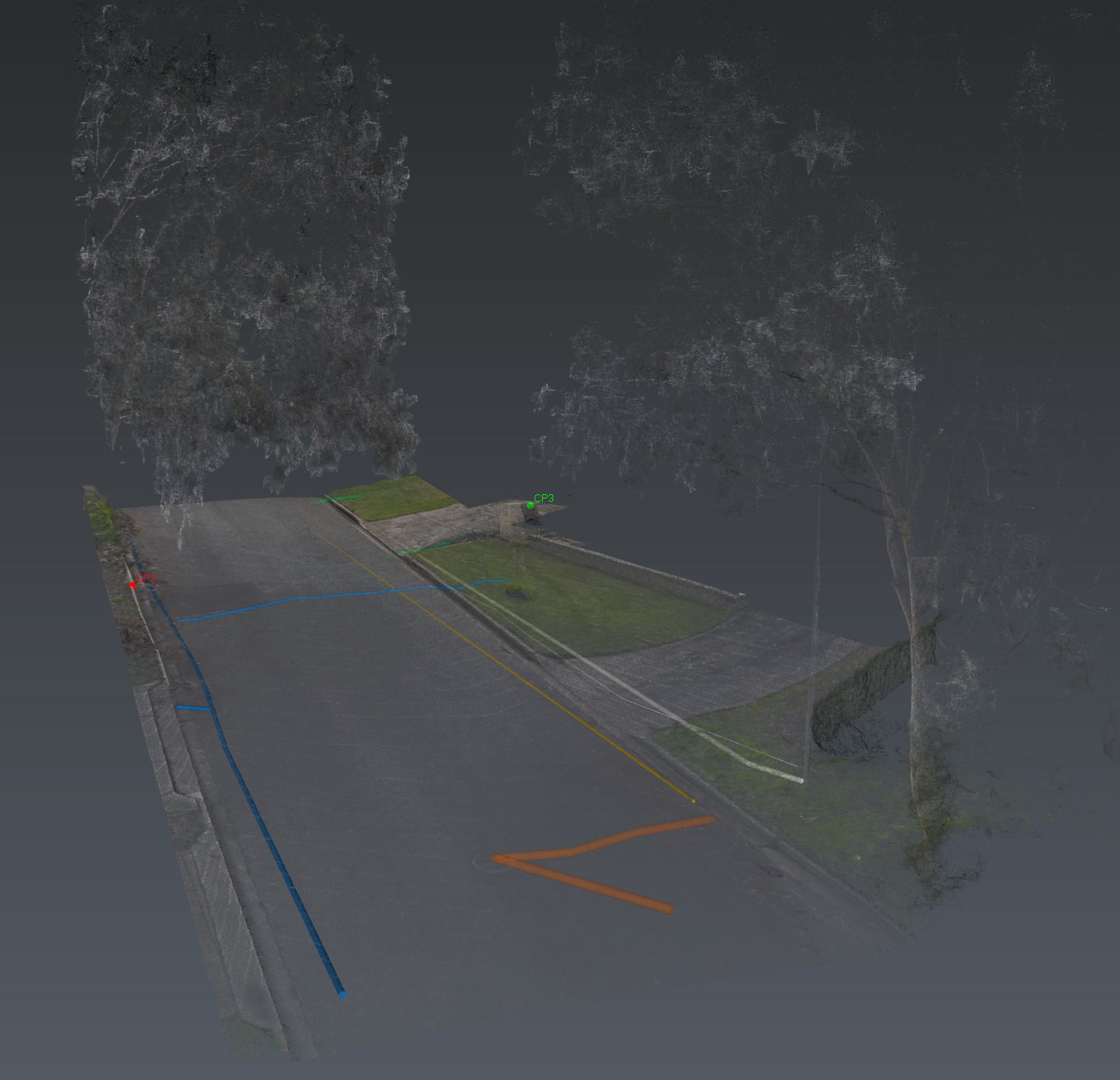
Utility mapping means the subsurface is captured, classified and placed in a coordinated environment — communications, drainage, electrical, water, sewer, gas, unknown. Each feature carries a quality level and a confidence. Gaps are part of the map.
Aus-OMI builds that map from multiarray GPR, electromagnetic locating and reality capture, then issues KML, 3D and a PDF readout. Design can use it. So can the people who open the ground.