
Method 05
Data integration
Capture is only the start. This page is the office layer: process, align, interpret, issue. PDF, KML and the point cloud — one package, quality level and confidence kept separate.
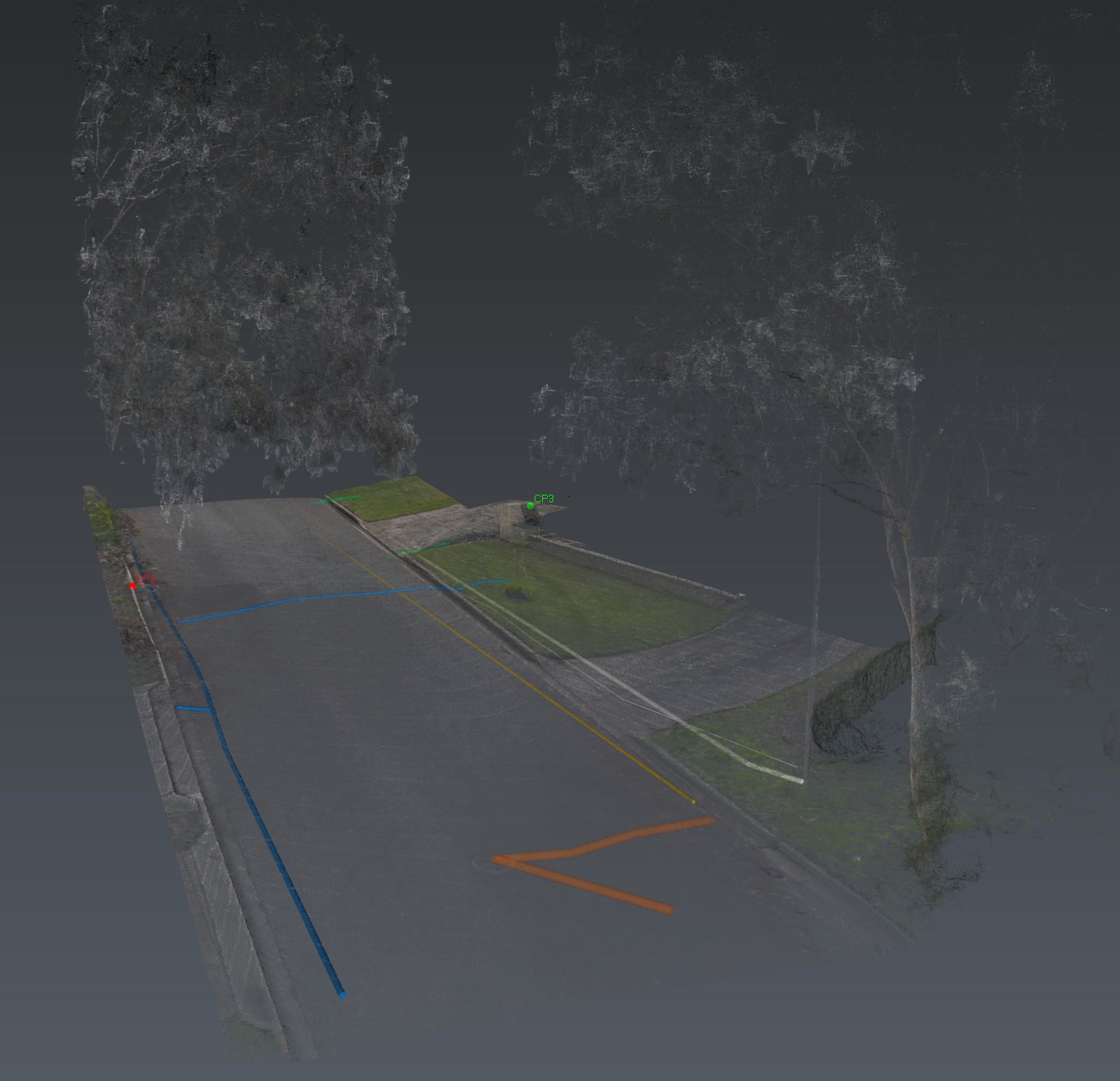
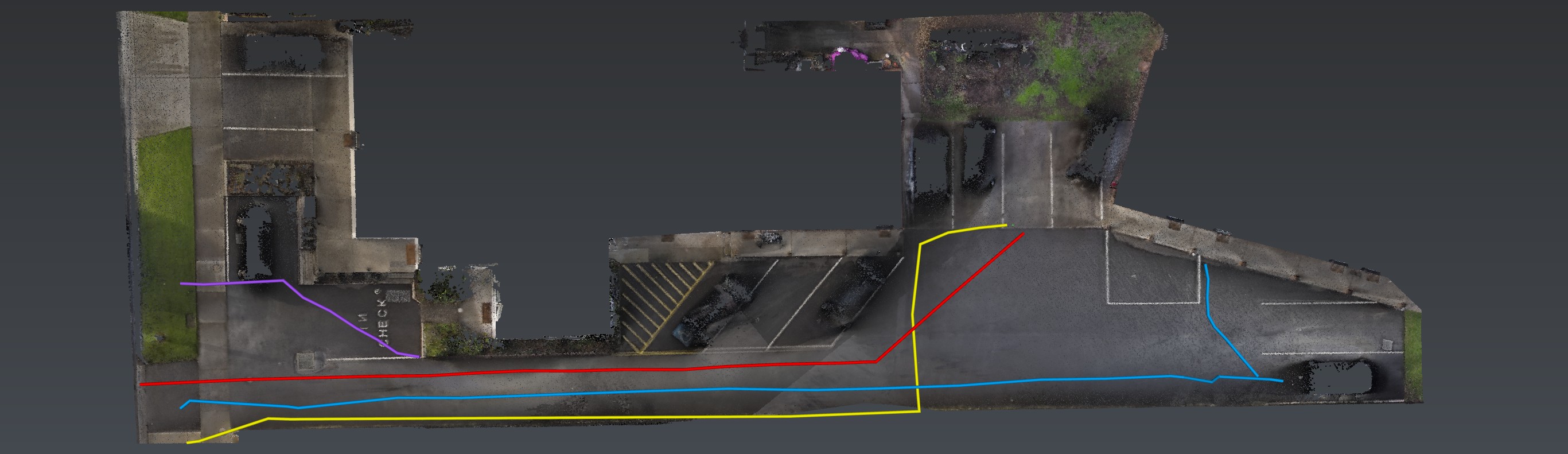
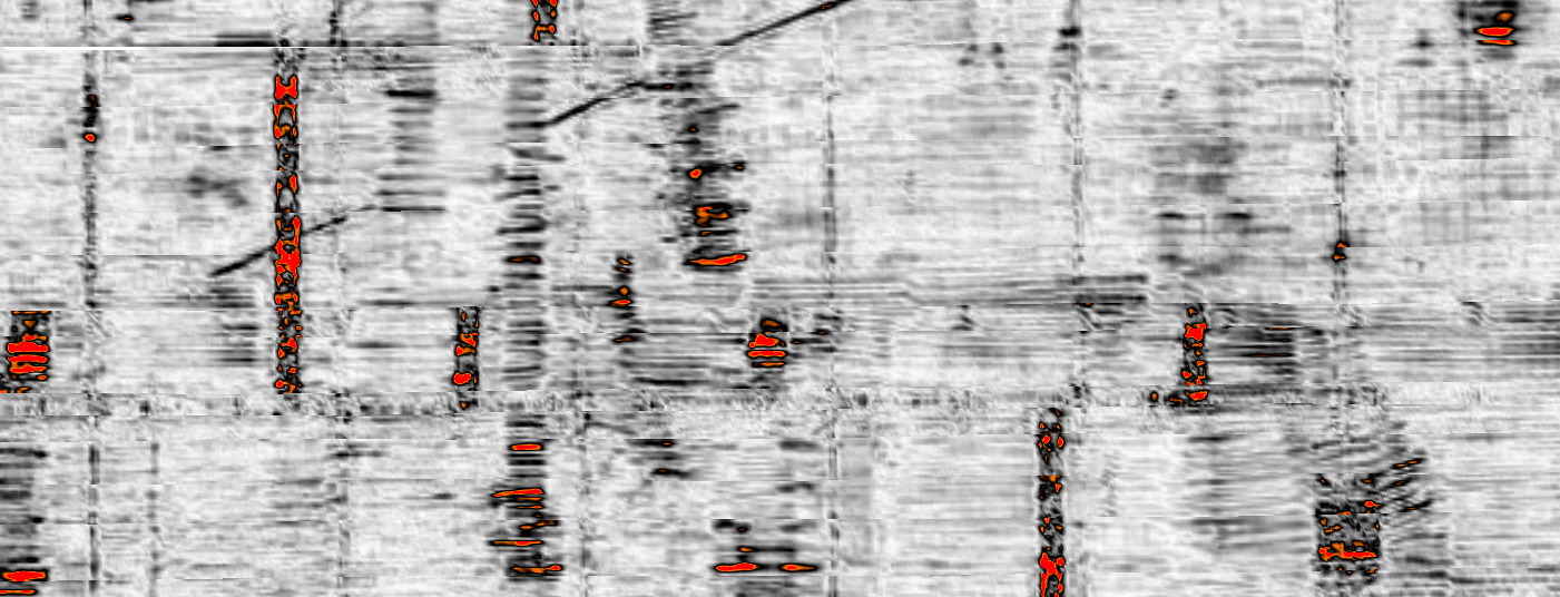
Where we differ is not a single instrument. It is what happens after. Stream DP data is processed in IQmaps — tomography, 3D visualisation, georeferenced features. EMI traces and RS10 reality capture are spatially aligned in the same environment. Methods check each other. False positives drop.
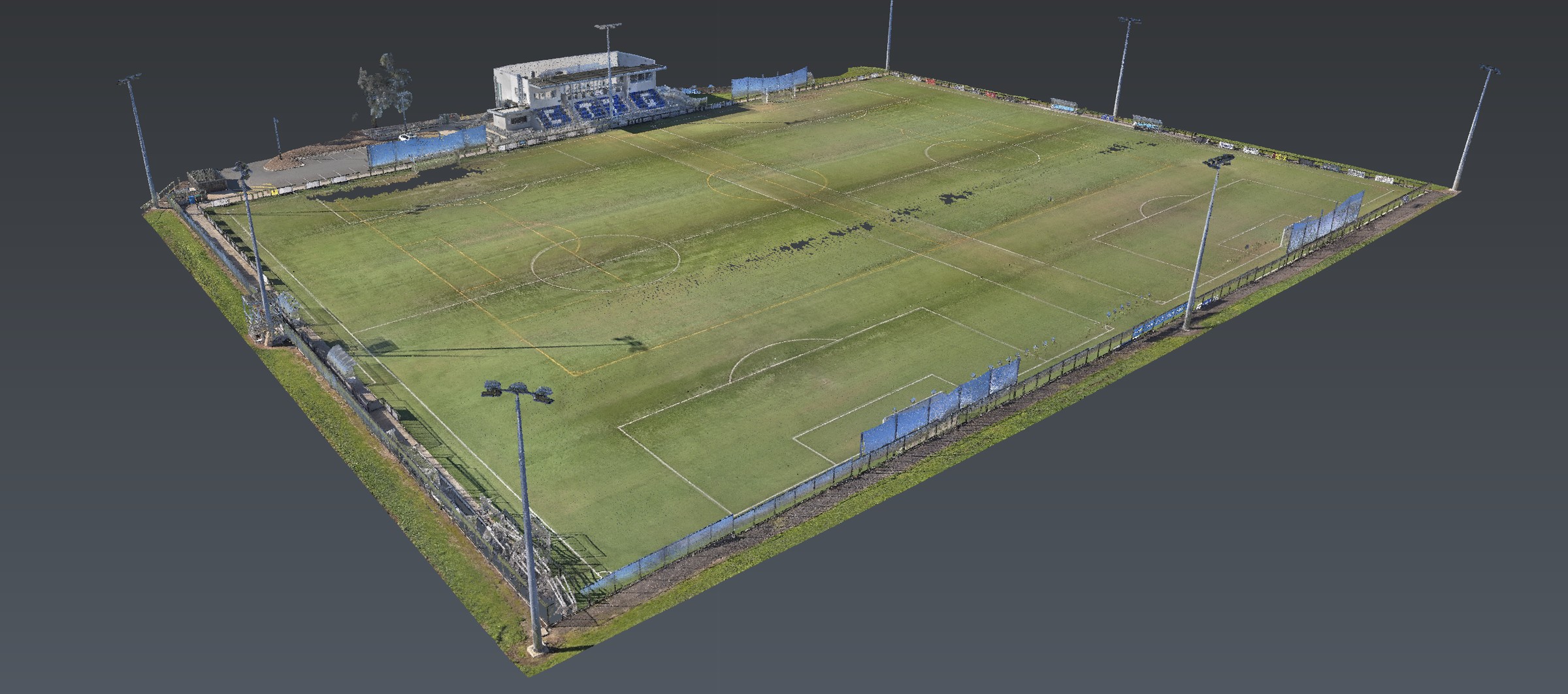
The report is the decision-making front end of a reusable spatial package: PDF findings, an interactive 3D project, classified utility models, KML, the site point cloud, and the metadata that makes it traceable.
Quality level, interpretation confidence and positioning accuracy are reported separately. One is never substituted for another. GPR or SLAM alone does not create an exposed verification.
Also in Adelaide
The same investigation, other jobs.
Data integration is a method. The same investigation is also used on these jobs.
Also in the van
How we investigate — the six movements, not this instrument. View all methods. Planted steel is Relative Loss.
Next
Send the drawings.
We reduce uncertainty before works begin.
Corridor, precinct, brownfield or a street with no records. Brief us from Adelaide. We work Australia-wide.