
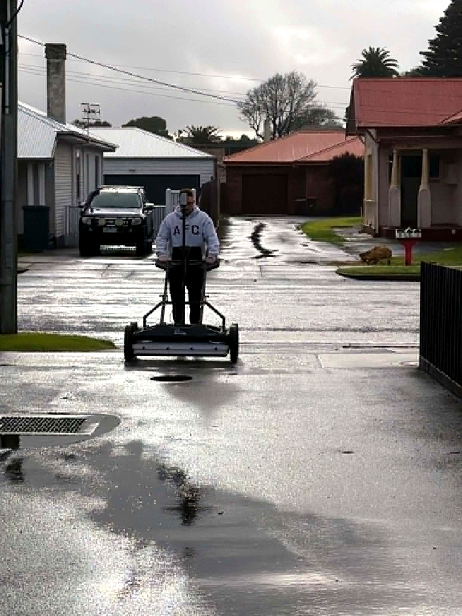
Multiarray GPR cart scanning a suburban street in Adelaide

Adelaide · GPR

Ground penetrating radar in Adelaide.

Ground conditions, limits, and a call you can brief from. Based in Adelaide. Working Australia-wide.

Adelaide clay, fill and reinforcement bound what a radar pulse will return. What multiarray GPR will see on this ground, what it will not, and the report that states both.

What GPR is — and what it is not

Ground penetrating radar sends a pulse into the ground and records what comes back. Metal, plastic, concrete, voids and unknown trenches can all produce a response. A cable locator only hears conductive plant. GPR sees structure.

It is not X-ray vision. It is not an exposed verification. Depth, ground conditions and the array all bound what can be called. Aus-OMI writes those bounds down.

Multi-channel Stream DP — dense acquisition

Most Adelaide locating is still a walk with an EM unit. Useful, and incomplete. We deploy a 30-channel dual-polarised array (IDS GeoRadar Stream DP: 19 VV + 11 HH) as the primary intelligence layer. Equalized scrambled Technology (EsT) holds depth and resolution in the same pass. One operator. Dense coverage, not a single noisy line.

Non-conductive services, abandoned plant, unknown trenches and depth-separated utilities are in scope because the radar images the ground, not only what conducts.

From hyperbola to tomography to a call

Field data is processed in IQmaps as a volume. A classic hyperbola, a continuous reflection, a time-slice at a chosen depth — each significant finding is tied to evidence: chainage, depth, type, confidence.

Tomography lets overlapping utilities be read as structure. A large stormwater main is a bright continuous reflector. Reinforcement in a slab is a grid. Congestion that would lie to a single channel becomes a map.

EMI, spatial control, LiDAR and AS 5488

GPR does not replace electromagnetic locating. EMI cross-checks live conductive services in the same model. Reality capture (LiDAR / SLAM) locks both to the site as it actually is — indoor and GPS-denied ground included.

AS 5488 quality level is assigned feature by feature. Geophysical detection is not exposed verification. GPR or SLAM alone does not establish QL-A. Interpretation confidence and positioning accuracy are reported separately. One is never substituted for another.

What you actually get

A digital site intelligence PDF for the decision. Behind it: an interactive 3D project, classified utility models, KML, the site point cloud, and metadata (coordinate system, accuracy, processing record). CAD and GIS can use it. So can the people who open the ground.

Coverage, exclusions and reduced-quality zones are stated. Residual unknowns are part of the handover. That is the difference between a mark and a report.

Where it is used

  • Pre-construction utility scanning in Adelaide streets and precincts
  • Non-conductive and abandoned services
  • Unknown infrastructure where BYDA is thin
  • Live construction and plant
  • Rural holdings with no drawings
  • Concrete, slabs and embedded services

Limits we will say out loud

  • Highly conductive ground, standing water and dense reinforcement reduce what can be resolved.
  • A hyperbola is evidence, not an exposed pipe. We do not pretend otherwise.
  • Coverage is never assumed. What was not acquired is not interpreted.

Questions

Before you brief us.

Do you offer ground penetrating radar in Adelaide?
Yes. Aus-OMI is based in Adelaide and deploys multi-channel Stream DP GPR across South Australia and Australia-wide, as part of a full subsurface investigation — not a standalone scan with no report.
How is this different from a cable locator?
A cable locator hears conductive services. Multiarray GPR images the ground: plastic, concrete, voids, unknown trenches, depth-separated utilities. We still use EMI. We do not rely on it alone.
What is 3D GPR / tomography?
Dense array data treated as a volume. Time-slices at nominated depths so overlapping services can be separated. A plan of the ground at a chosen depth, not a single noisy line.
Does GPR give AS 5488 QL-A?
No. QL-A is exposed verification. GPR is geophysical detection. We assign quality level honestly, and we report confidence and positioning accuracy beside it.
What files do we receive?
PDF report, interactive 3D, classified utility models, KML, point cloud and processing metadata — the spatial package behind the decision.

Equipment is how we get there. The product is a better understanding of the site before you excavate, design or decide.

Next

Send the drawings.
We reduce uncertainty before works begin.

Corridor, precinct, brownfield or a street with no records. Brief us from Adelaide. We work Australia-wide.