
Method 03
Reality capture
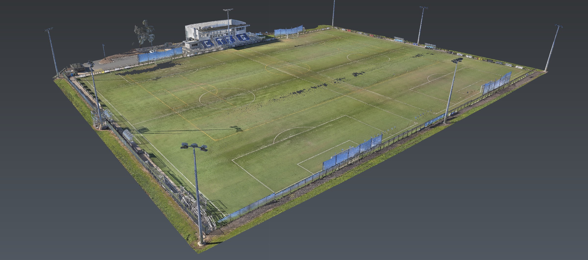
The CHCNAV RS10 captures georeferenced surface context with RTK and SLAM. This page is how that pass is run — handheld, GPS-denied included — so GPR and EMI have a true site to sit on.
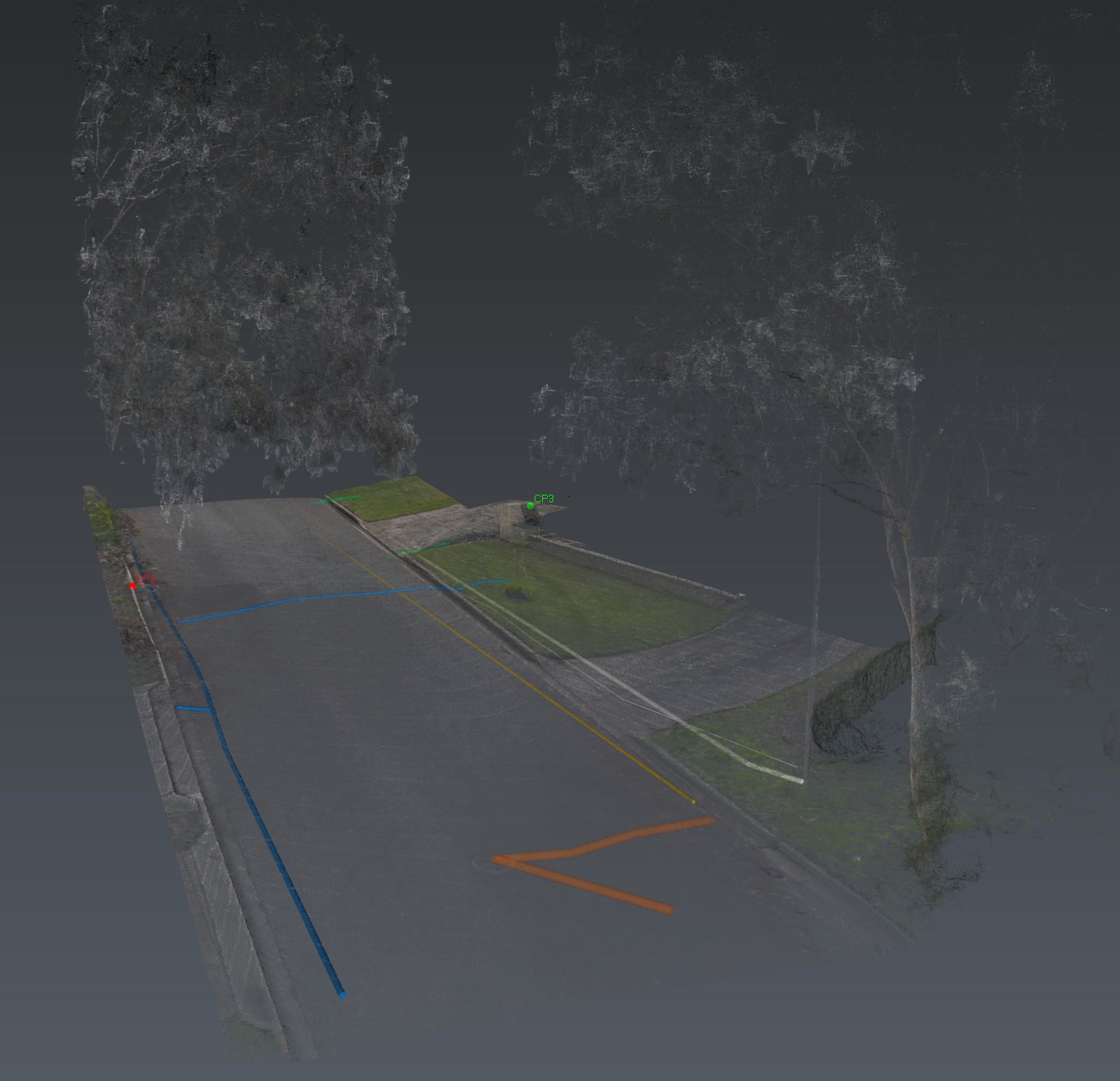
Reality capture is the context layer. The RS10 combines GNSS RTK, laser SLAM and visual SLAM in one handheld — so high-resolution point clouds of the environment, visible assets and site geometry can be captured outdoors, indoors and where satellites drop out. Every GPR slice and EMI trace then sits in the real world, not a blank CAD sheet.
The RS10 workflow is built for speed on active sites: mobile capture, RTK positioning, and alignment into the same coordinated environment as the subsurface datasets.
This is how Aus-OMI moves beyond traditional locating. We do not hand you marks in isolation. We hand you below-ground conditions connected to real-world site context.
Also in Adelaide
The same investigation, other jobs.
Reality capture is a method. The same investigation is also used on these jobs.
Also in the van
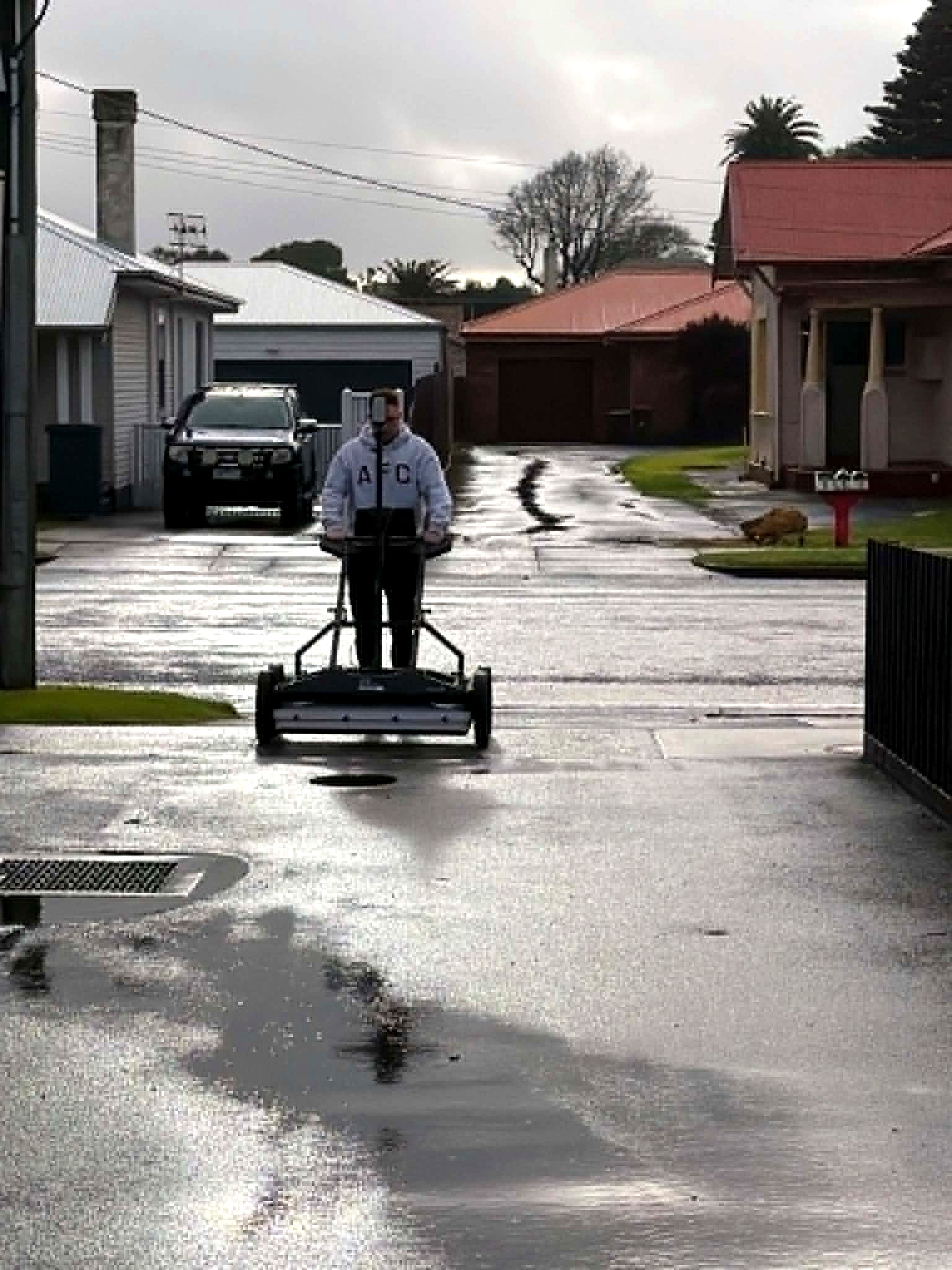
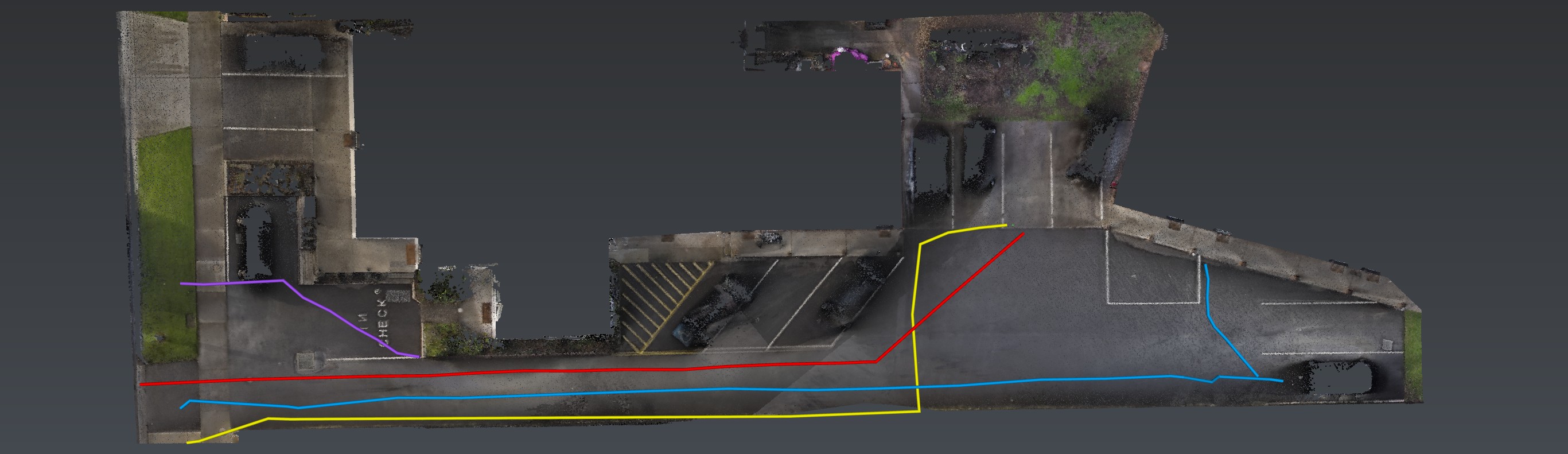
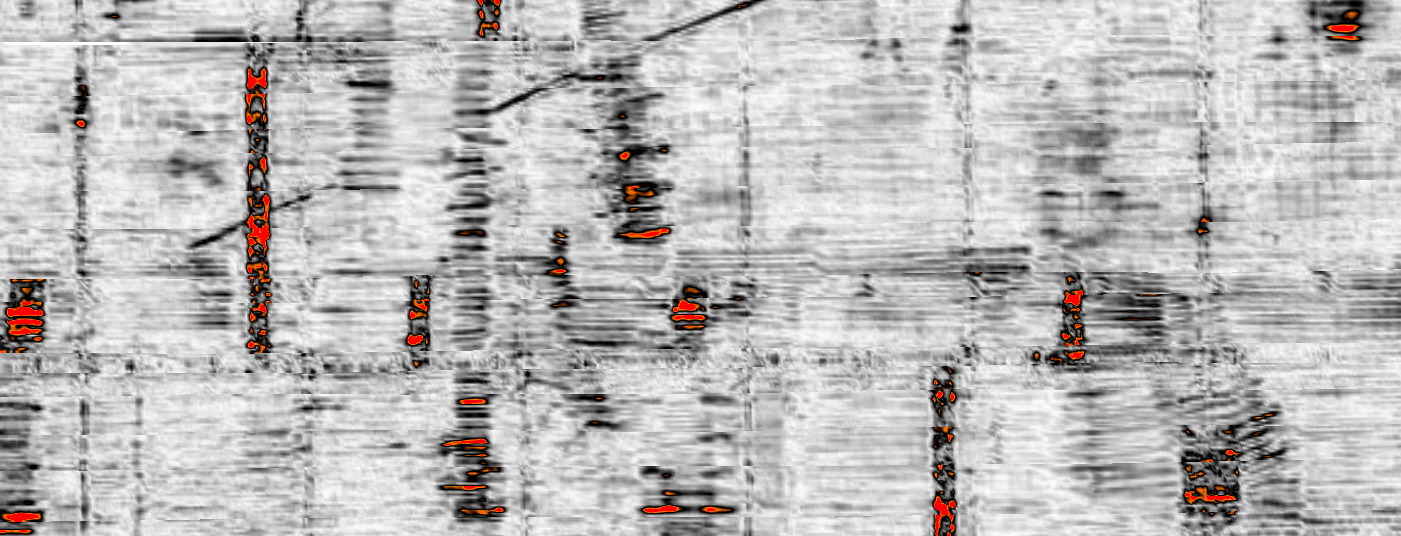
How we investigate — the six movements, not this instrument. View all methods. Planted steel is Relative Loss.
Next
Send the drawings.
We reduce uncertainty before works begin.
Corridor, precinct, brownfield or a street with no records. Brief us from Adelaide. We work Australia-wide.