
Methods
Five methods. Open the one you need.
The catalogue. How each pass is run is on the method page. How they become one investigation is on Capability. Equipment is not the product.
01
Multiarray GPR
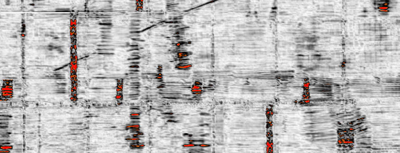
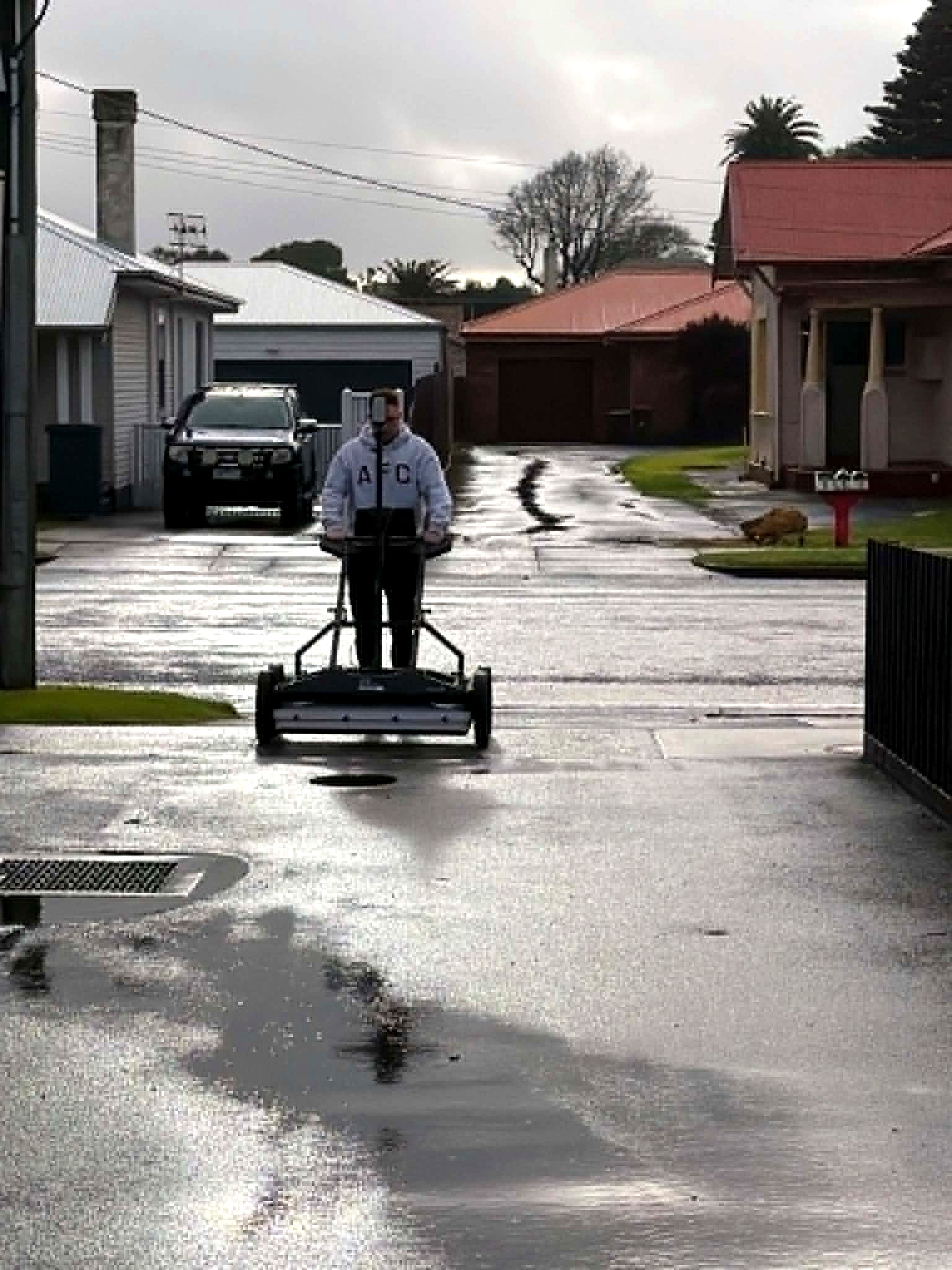
The IDS GeoRadar Stream DP multi-channel array captures dense subsurface coverage in a single pass. Dual polarisation, EsT, then IQmaps. This page is the instrument and how a pass is run.
Open the method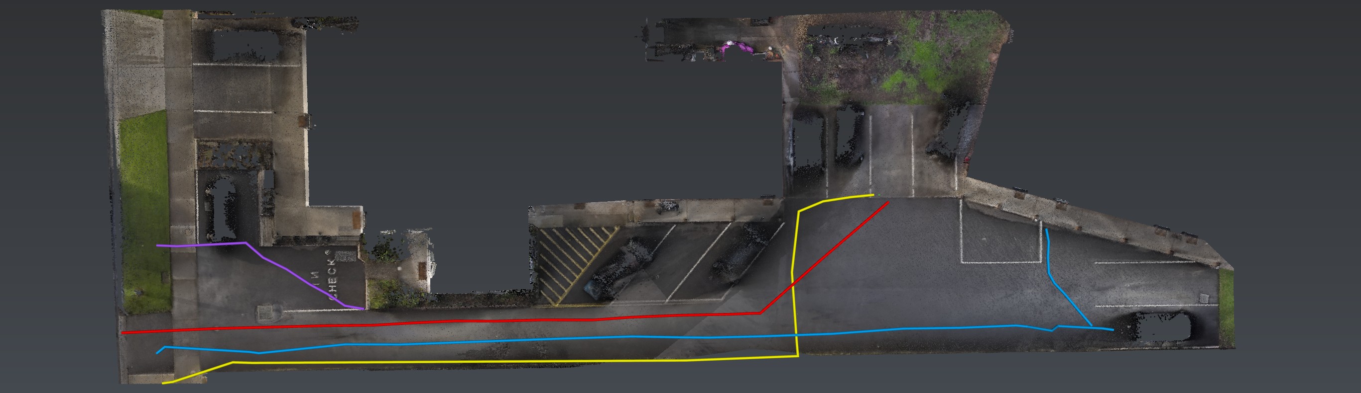
02
EMI locating
Conductive utilities, traced so every mark lives in the same model as the GPR. This page is the instrument and the georeferenced mark.
Open the method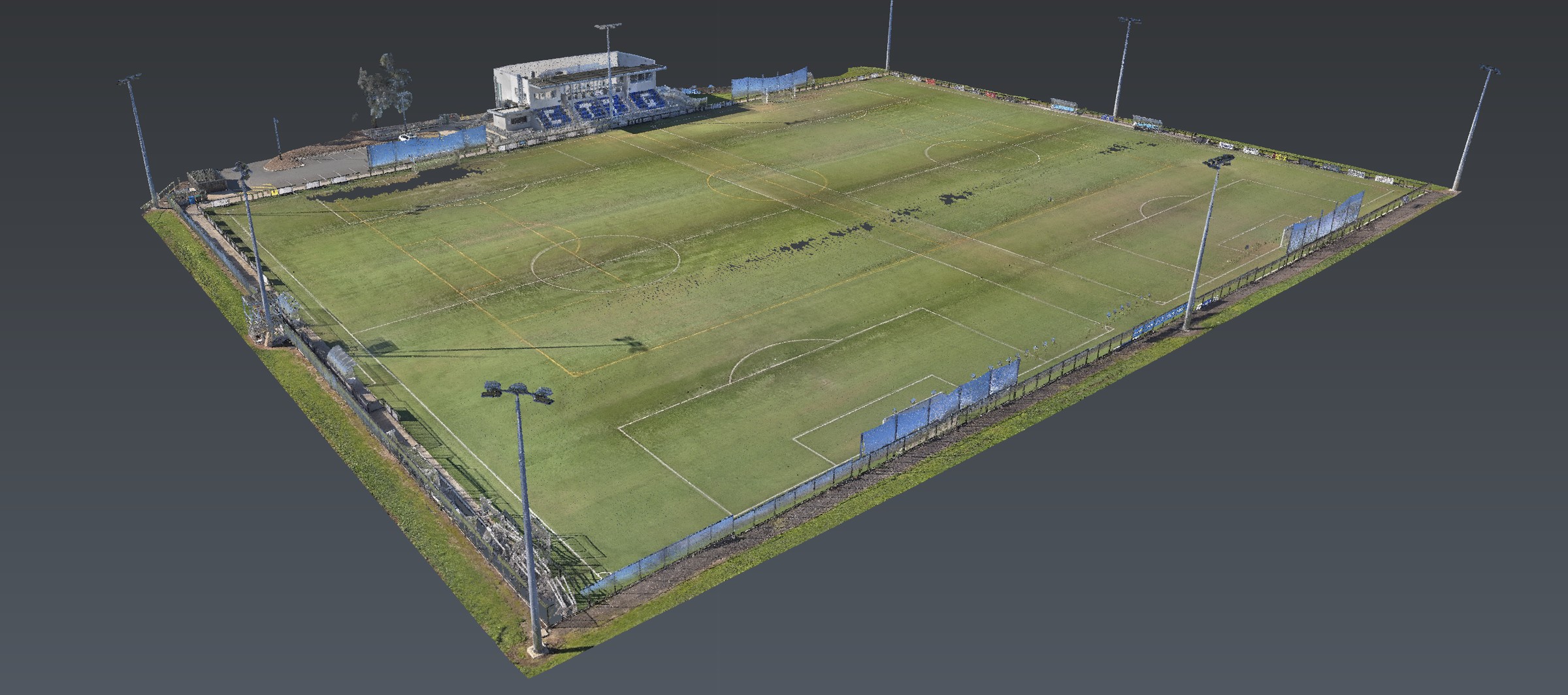
03
Reality capture
The CHCNAV RS10 captures georeferenced surface context with RTK and SLAM. This page is how that pass is run — handheld, GPS-denied included — so GPR and EMI have a true site to sit on.
Open the method04
3D radar tomography
Tomographic slicing of dense array GPR so overlapping utilities, unknown assets and depth-separated features can be read as structure — a volume, not a single noisy line.
Open the method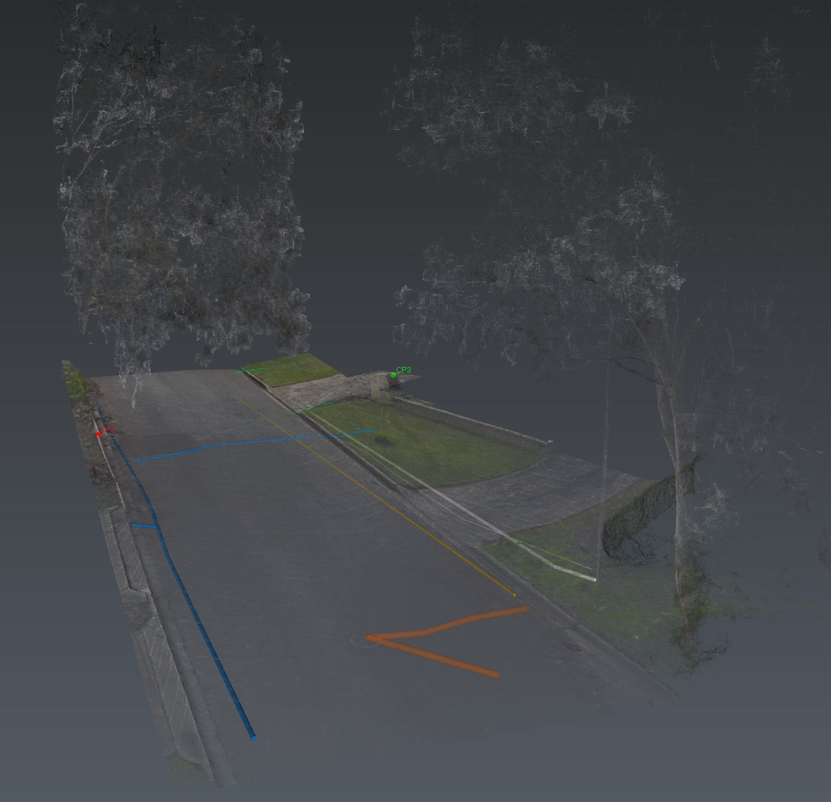
05
Data integration
Capture is only the start. This page is the office layer: process, align, interpret, issue. PDF, KML and the point cloud — one package, quality level and confidence kept separate.
Open the methodSteel
Relative Loss
Planted and buried steel — lighting columns, poles, rec lighting, I-beams. Magnetometric section-loss indication without excavation.
Open Relative LossApplications of the same investigation: Utility locating · Relative Loss · Tree constraint mapping · Heritage and archaeological mapping · Aboriginal heritage mapping · Pavement and hardstand mapping.
Next
Send the drawings.
We reduce uncertainty before works begin.
Corridor, precinct, brownfield or a street with no records. Brief us from Adelaide. We work Australia-wide.