What we found
Cover, crossings and communications on the carriageway — classified, georeferenced, evidence attached.
W.02 · Utilities
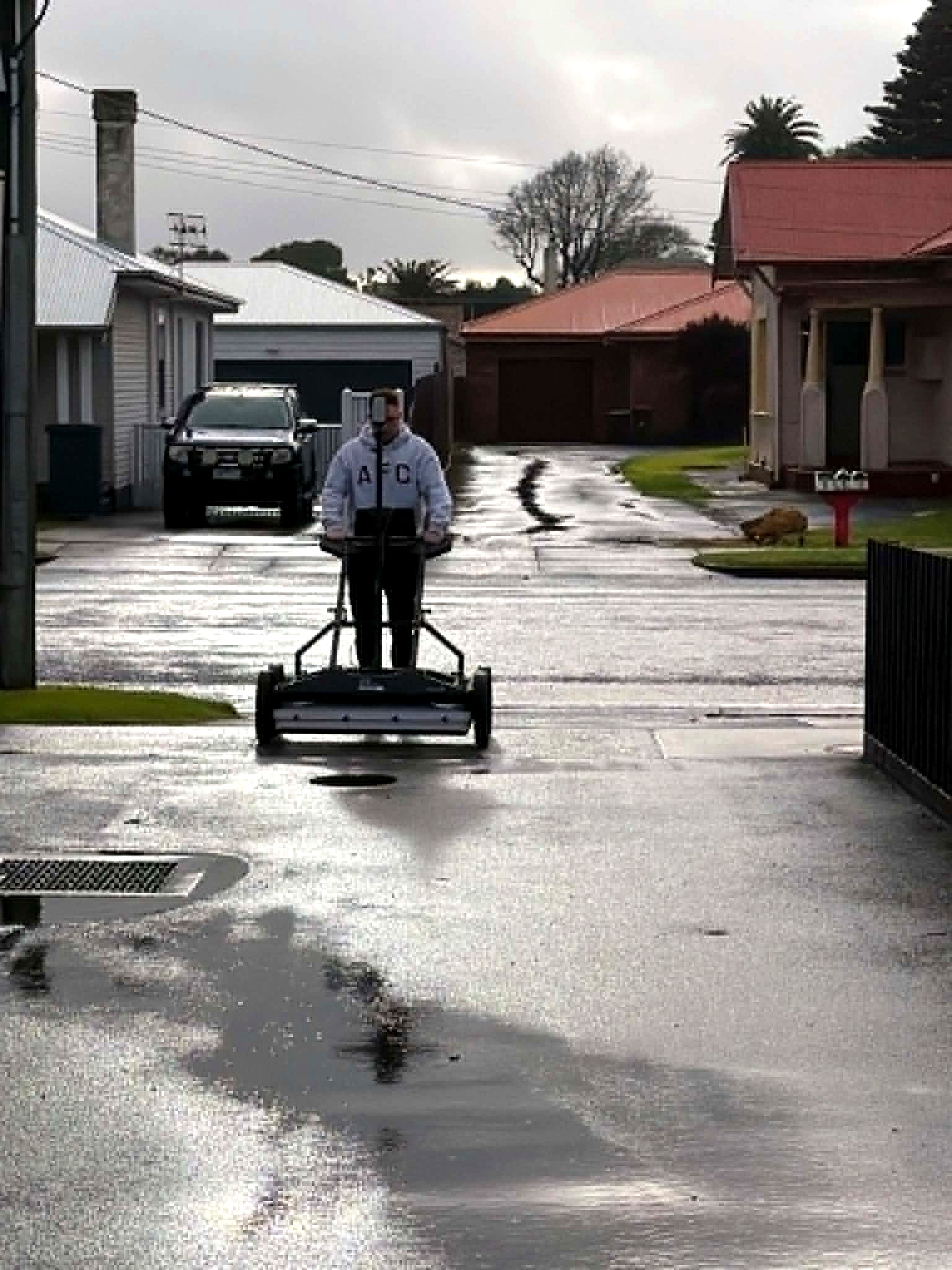
A South Australian residential street investigated so cover, crossings and communications were known before anyone opened the ground.
Readout
Cover, crossings and communications on the carriageway — classified, georeferenced, evidence attached.
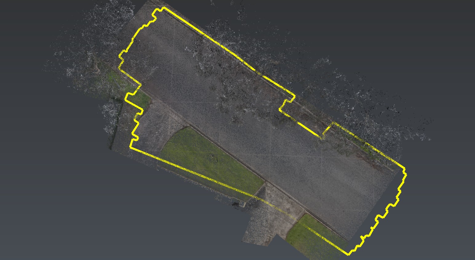
No-response stretches inside the acquired coverage were recorded as empty of a radar call, not as a clearance to dig.
Where cover, congestion or ground reduced the call, the residual unknown stayed on the plan.
An active suburban street, assessed so crossing utilities would be known before excavation. Minimal disruption. Clear visual outputs for planning and setout.
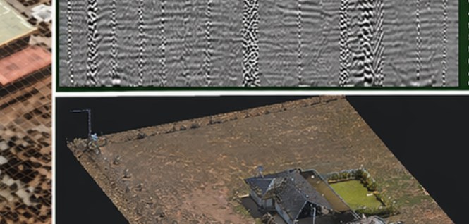
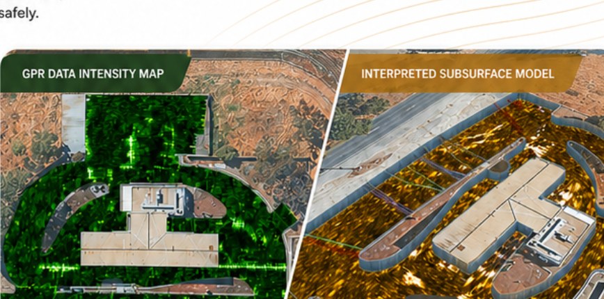
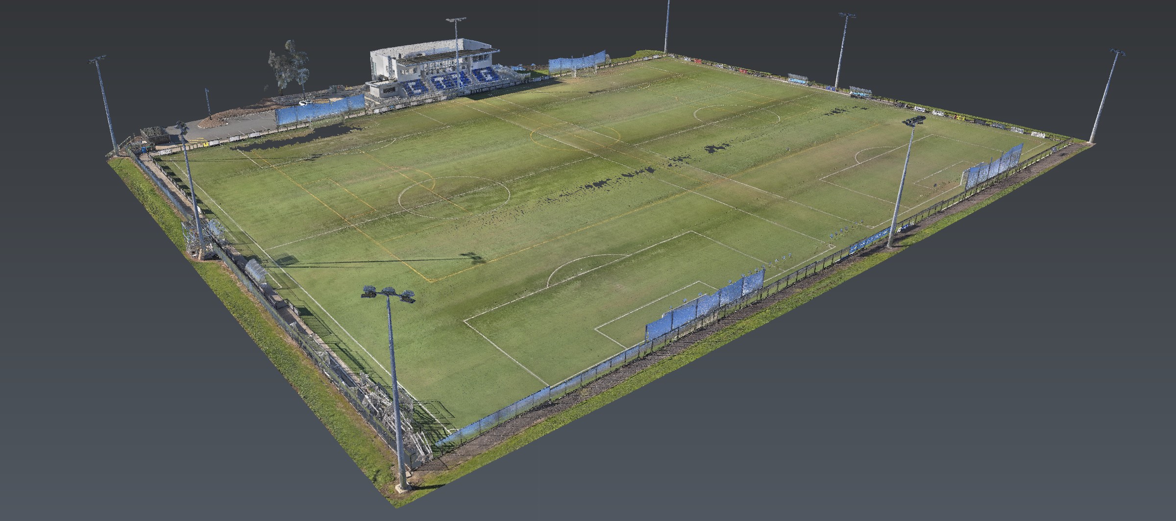
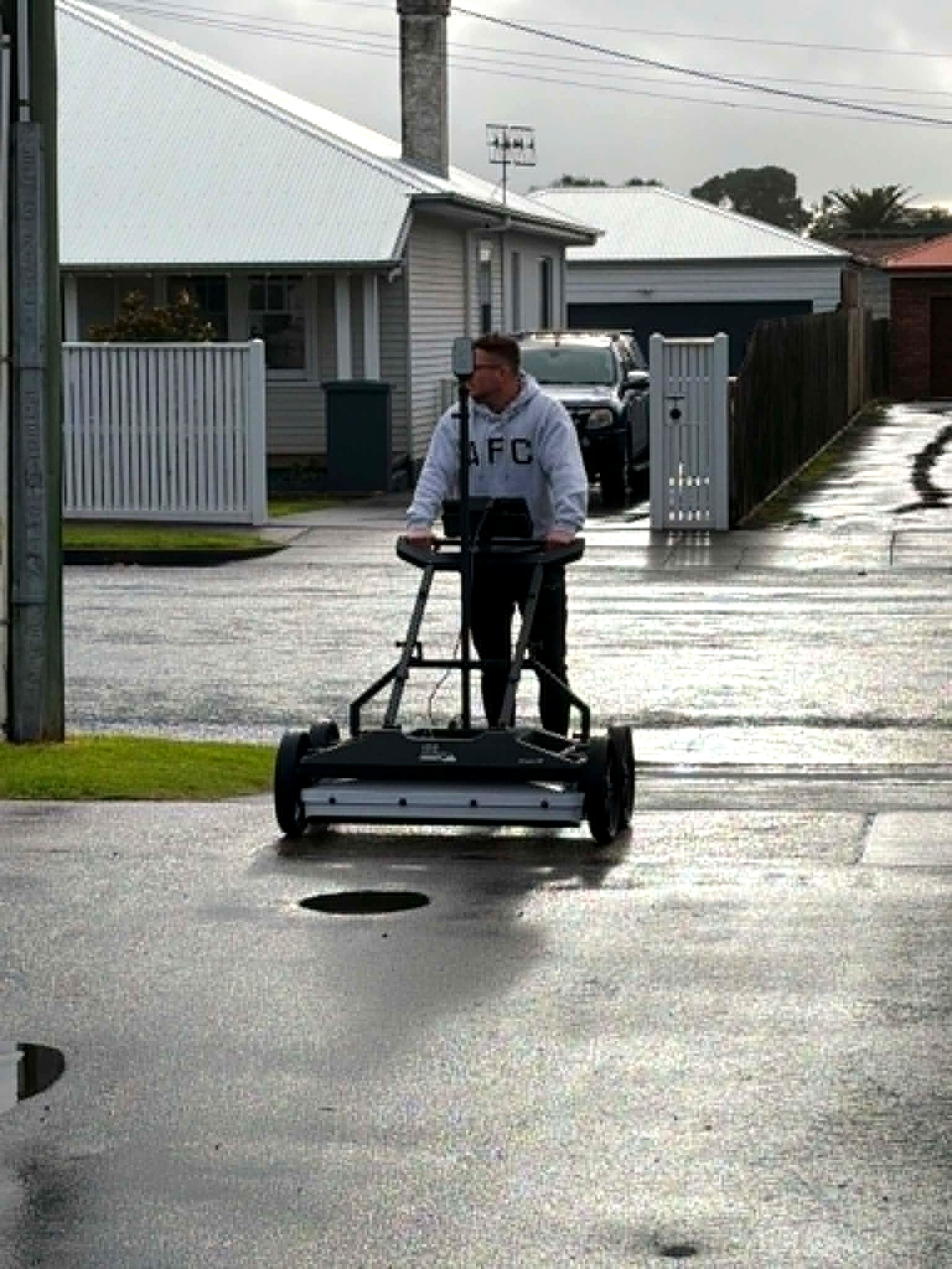
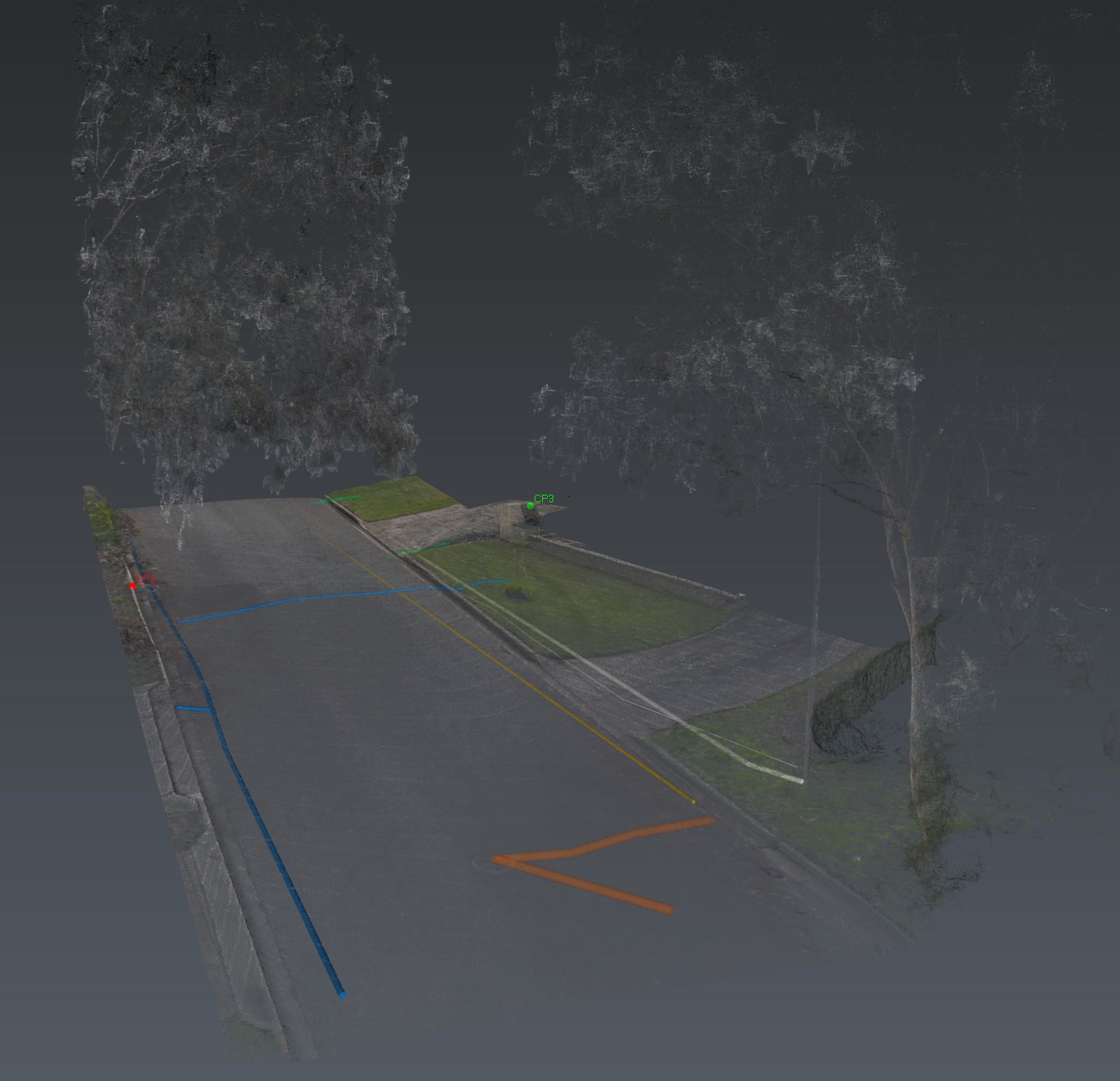
Stream DP GPR across the carriageway, electromagnetic locating for conductive utilities, RS10 reality capture for site context, then processing and spatial alignment of every dataset. Coverage stated. Findings classified. Evidence attached.
The handover is a digital site intelligence report and the spatial package behind it — not a maybe on a faded as-built.
The product

Methods named. Clients not. Brief a site that looks like this one.
Next
Corridor, precinct, brownfield or a street with no records. Brief us from Adelaide. We work Australia-wide.