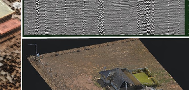
What we found
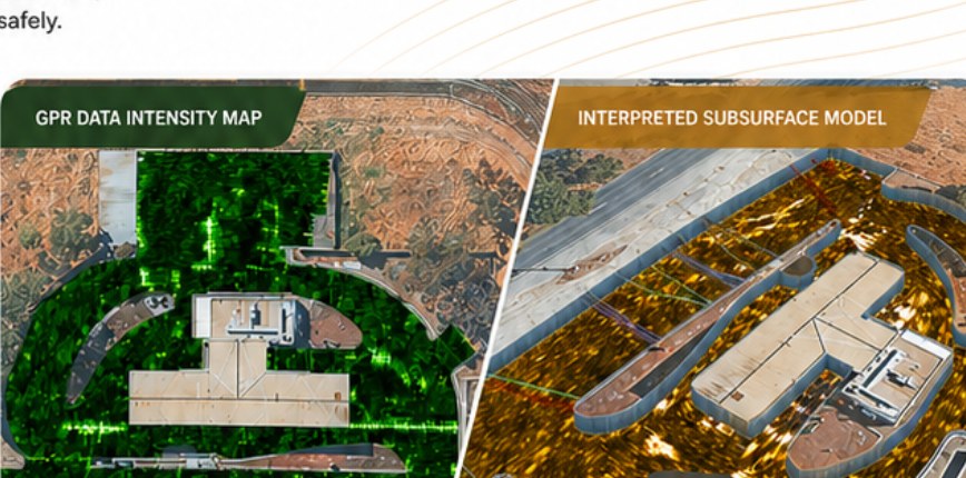
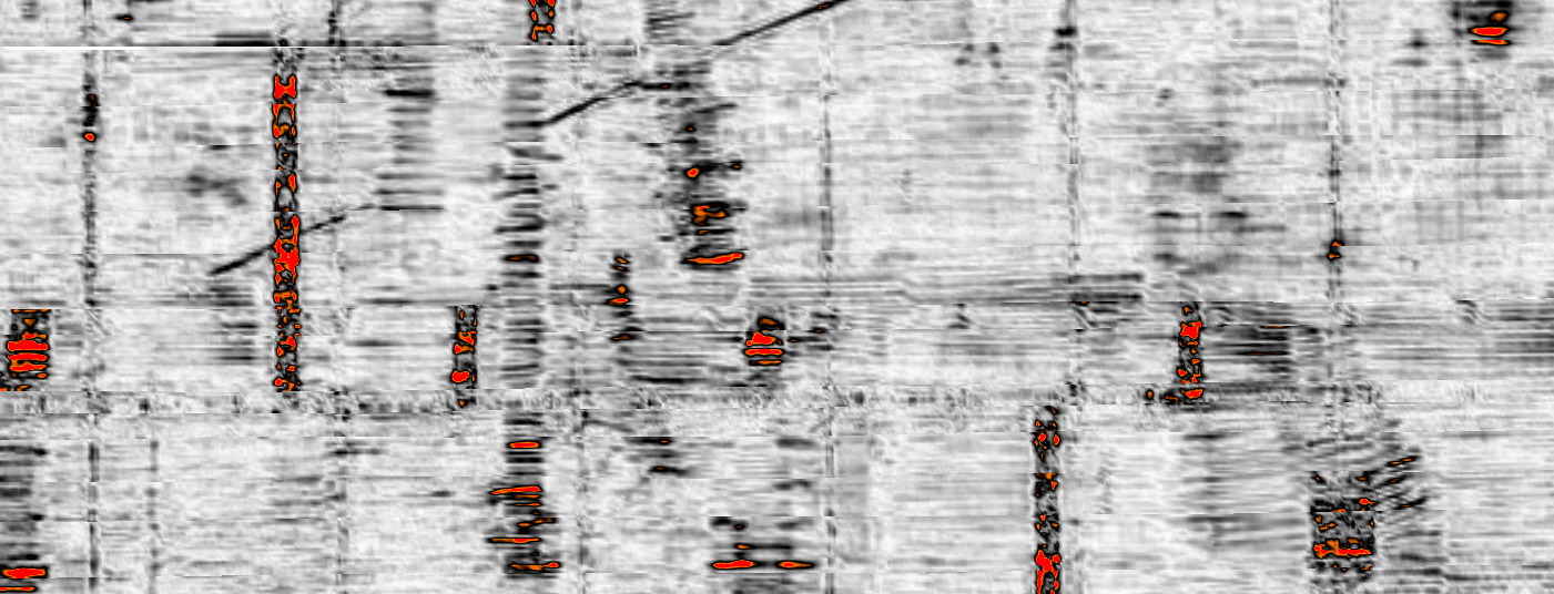
Irrigation layout and subsurface services across the full-area grid — georeferenced into a plan operations can read.
W.04 · Assets
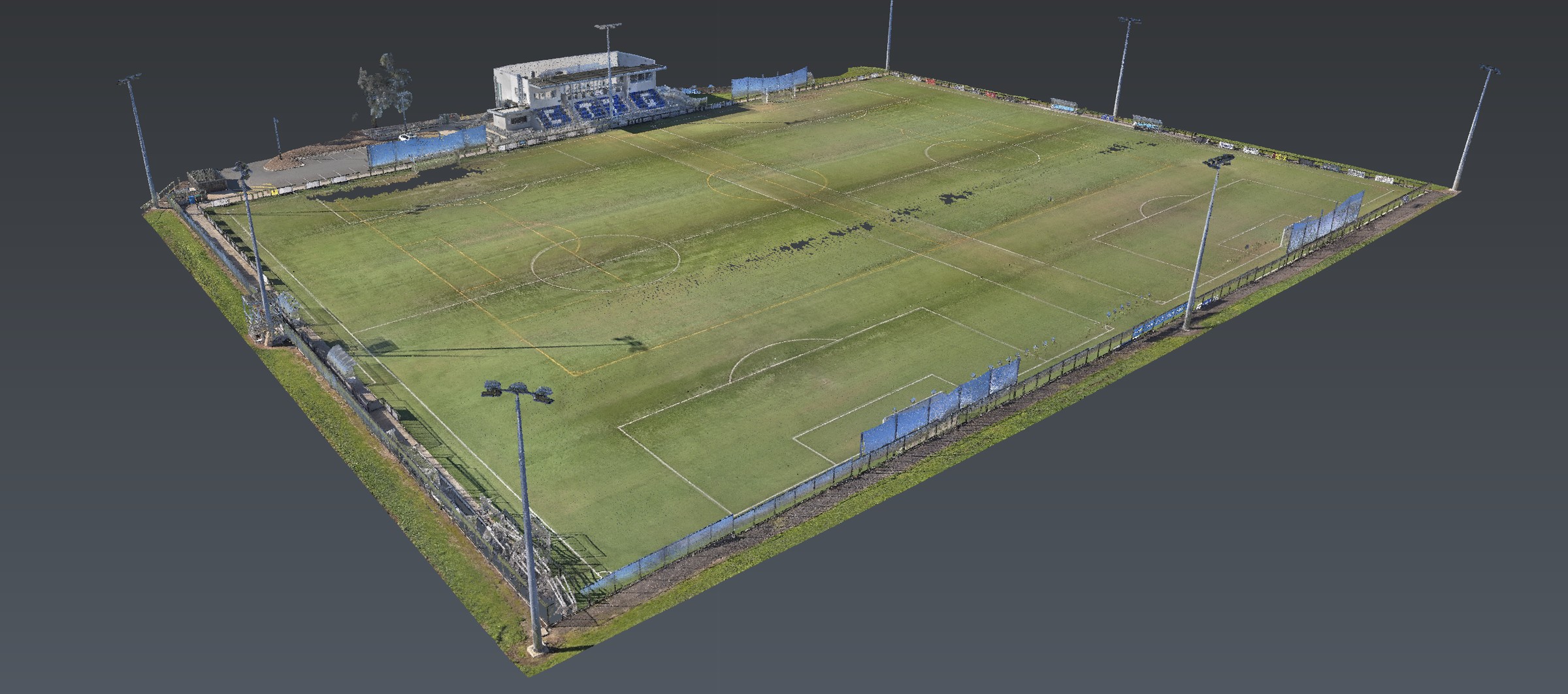
Open recreational site in South Australia mapped for irrigation infrastructure and subsurface services. A usable site plan from a full-area GPR grid.
Readout
Irrigation layout and subsurface services across the full-area grid — georeferenced into a plan operations can read.
No-response ground inside the grid was recorded. It was not filled from a faded as-built.
Mixed surface conditions reduced some calls. Those reduced-quality zones stayed on the plan.
A large open recreational area with mixed surface conditions, assessed to map irrigation and buried services for planning, operations and asset management.
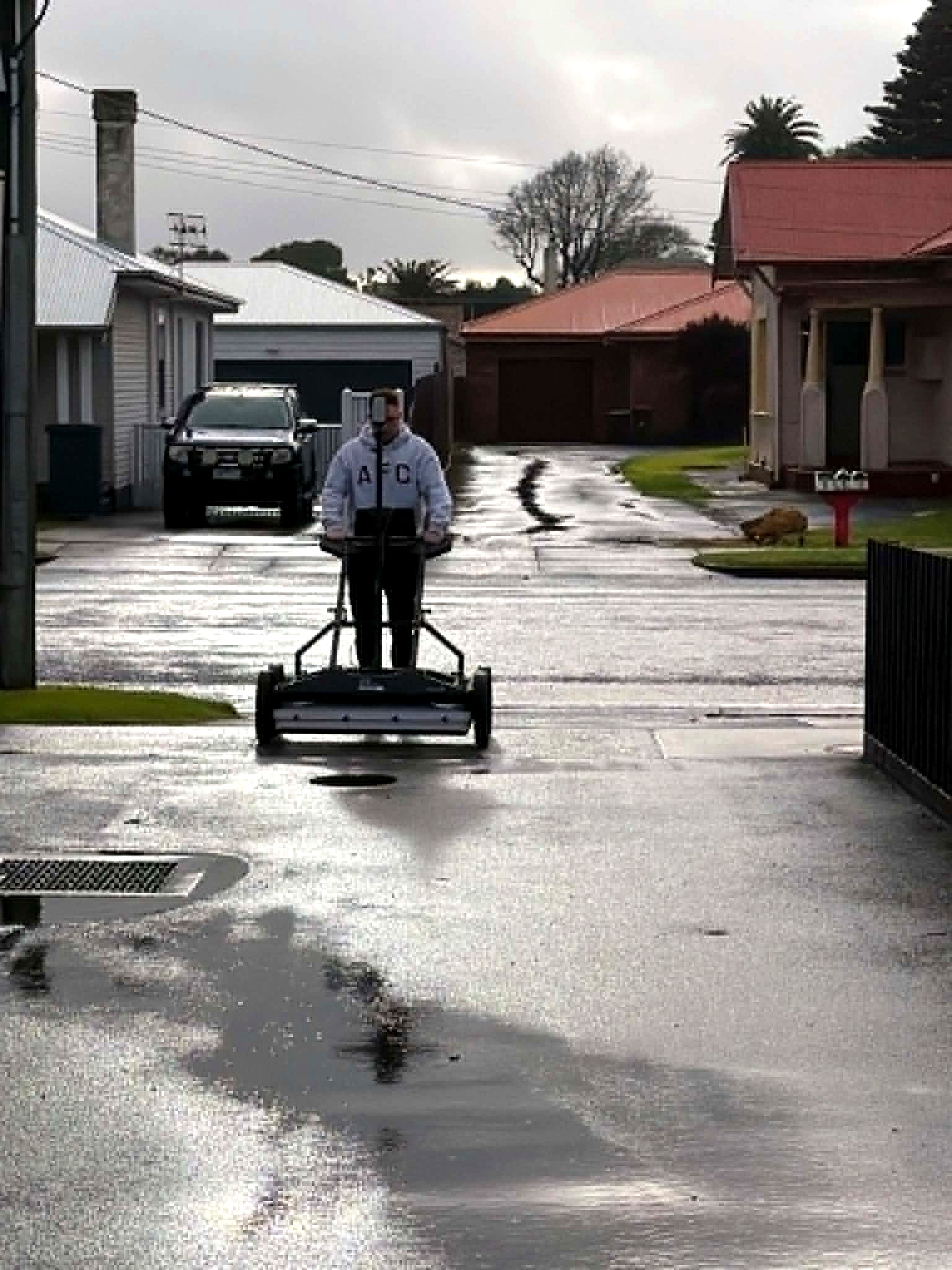
Stream DP GPR across the entire site, electromagnetic locating for conductive utilities and anomalies, then processing and alignment of every dataset. Irrigation layout and subsurface services identified. Clear spatial representation, georeferenced, in a format stakeholders can actually read.
The product
Methods named. Clients not. Brief a site that looks like this one.
Next
Corridor, precinct, brownfield or a street with no records. Brief us from Adelaide. We work Australia-wide.