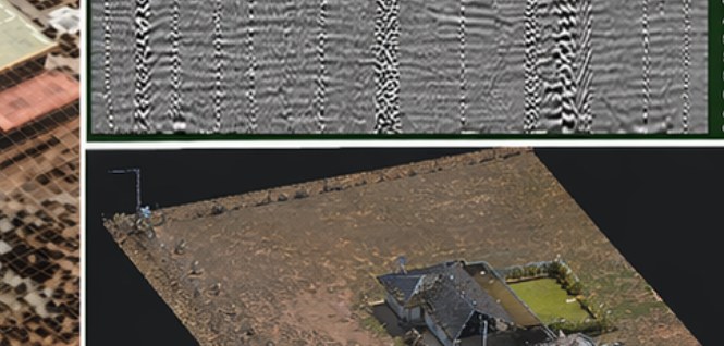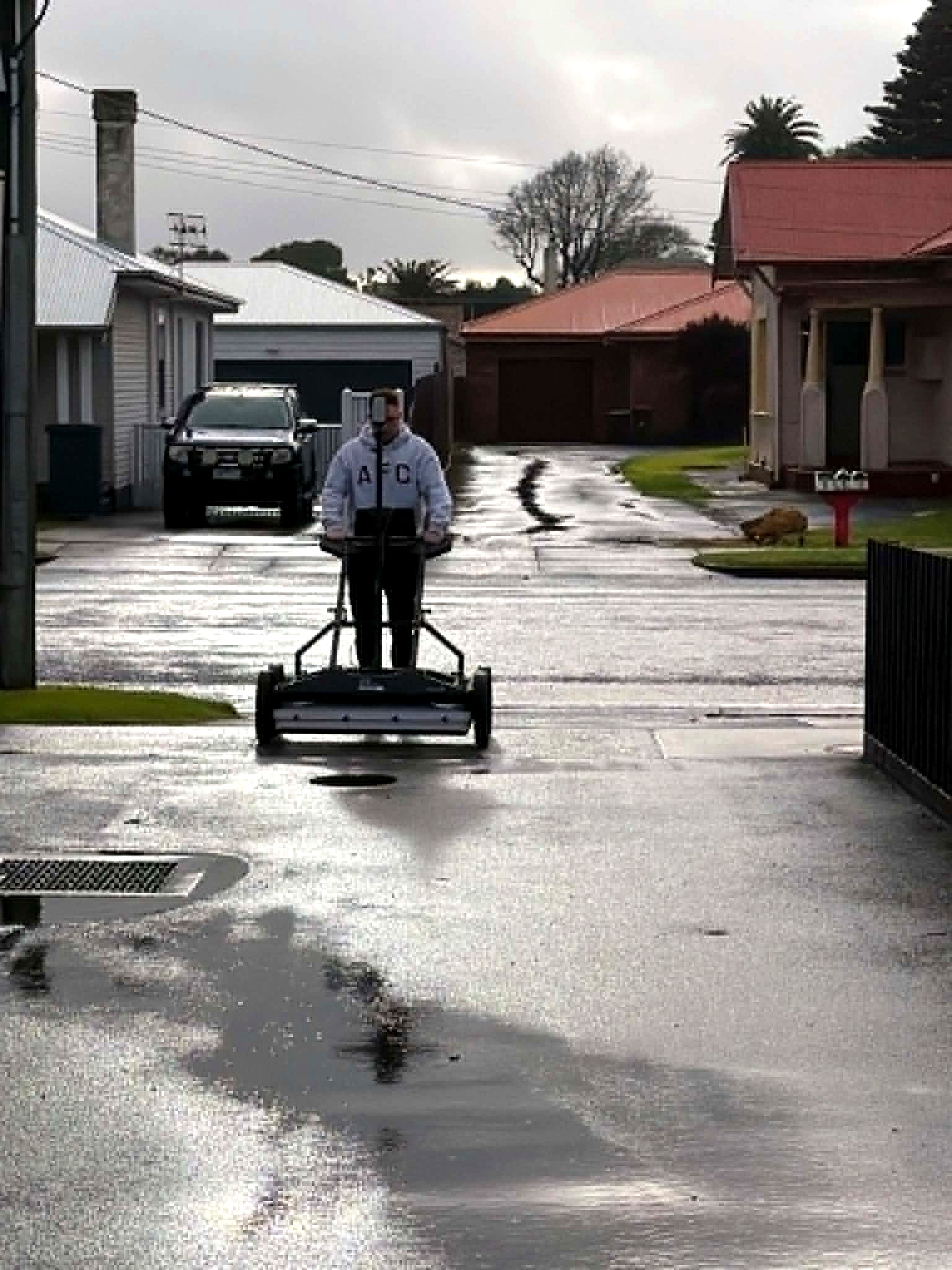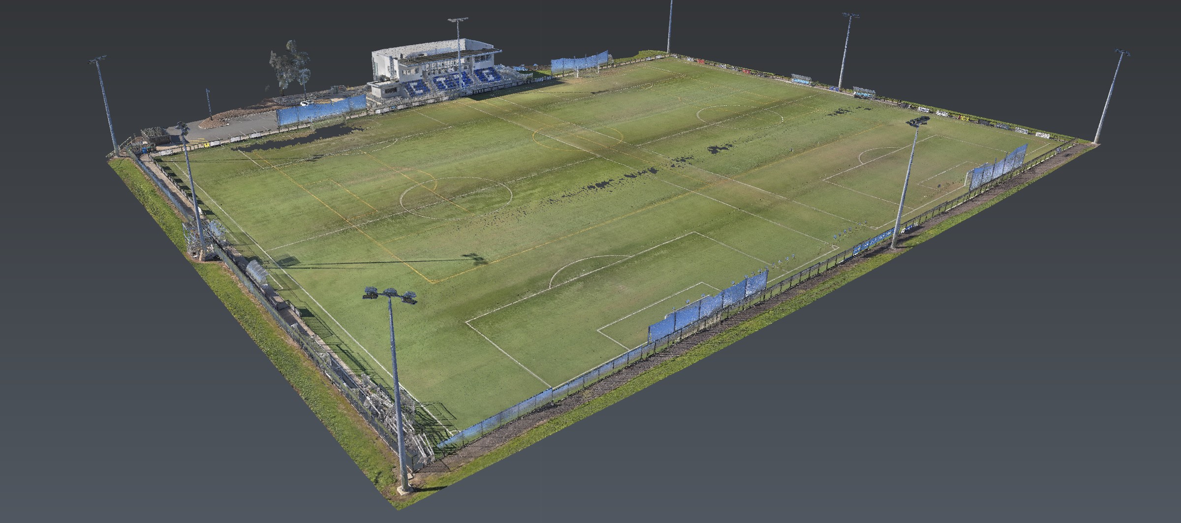
What we found
Disturbance zones and likely tank footprints, called from intensity mapping and EMI, with confidence on each anomaly.
W.03 · Redevelopment
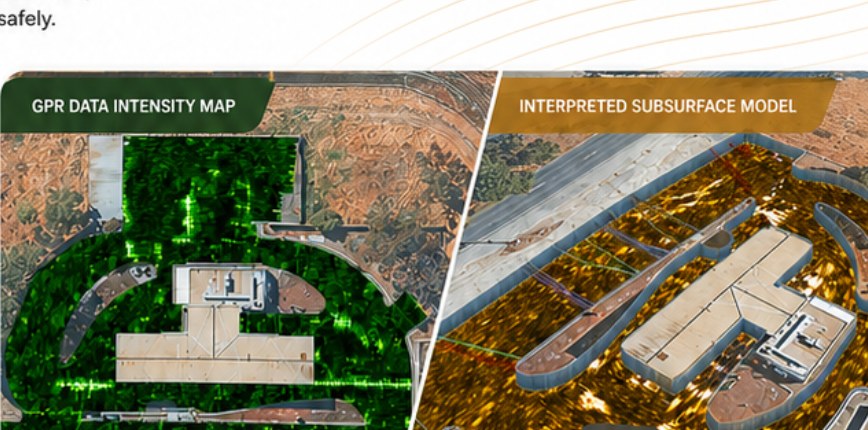
Subsurface disturbance zones and potential tank footprints identified to support safe redevelopment of an operational site.
Readout
Disturbance zones and likely tank footprints, called from intensity mapping and EMI, with confidence on each anomaly.
Ground outside the acquired grid was not interpreted. A quiet cell is a result only where coverage exists.
Anomalies that could not be typed without exposure stayed typed as uncertain. Geophysical detection is not a tank certificate.
Brownfield and operational sites hide their past. Aus-OMI detects and maps subsurface disturbance and potential tank infrastructure using high-resolution GPR and EM, then interprets the anomalies in context.
Stream DP acquisition, electromagnetic locating for conductive targets, processing and spatial alignment, then targeted interpretation: disturbance zones delineated, likely tank footprints called, conductive and structural anomalies assessed for confidence.
The handover is an intensity map, an interpreted subsurface model, and actionable insight for planning, risk management and compliance — non-invasive, before excavation or remediation.
The product
Methods named. Clients not. Brief a site that looks like this one.
Next
Corridor, precinct, brownfield or a street with no records. Brief us from Adelaide. We work Australia-wide.