What we found
Buried services and anomalies on a holding with no trusted drawings — characterised and placed in a 3D site model.
W.01 · Land & development
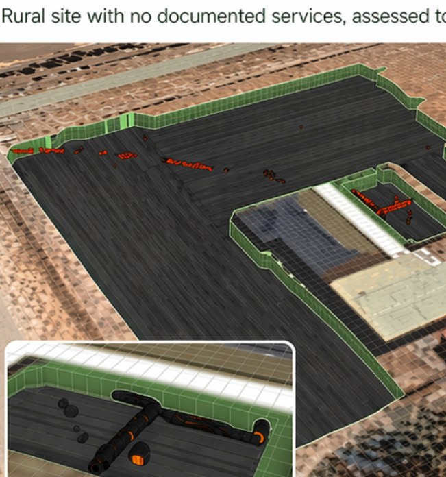
A rural site in South Australia with no documented services, assessed to de-risk excavation. Subsurface conditions defined where records did not exist.
Readout
Buried services and anomalies on a holding with no trusted drawings — characterised and placed in a 3D site model.
No authority record that could be relied on. Absence of BYDA was treated as a starting condition, not a clearance.
Ground that was not acquired was not interpreted. Residual unknowns stayed residual.
No drawings. No BYDA that could be trusted. A rural holding that needed to be opened without discovering the site the hard way.
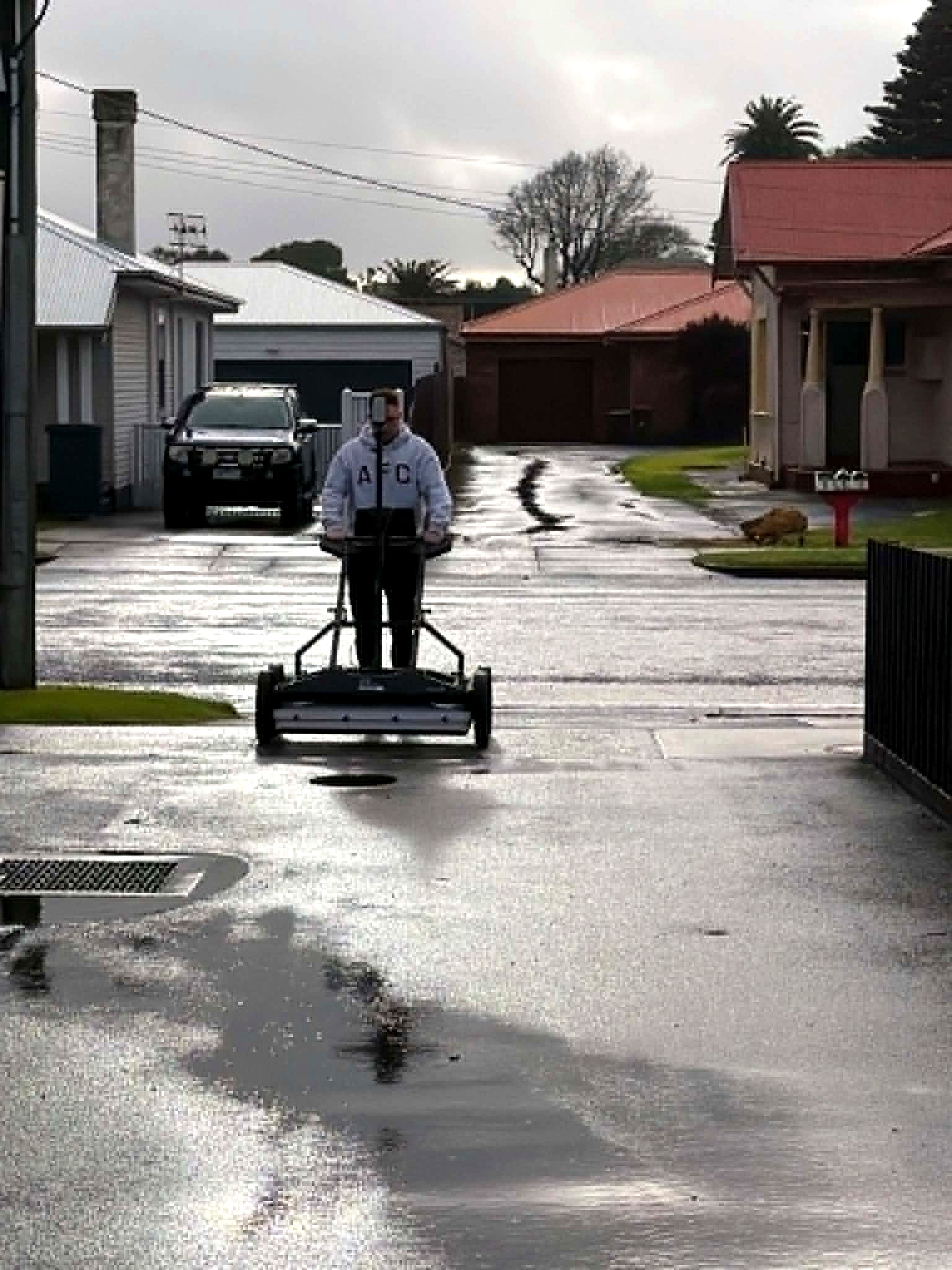
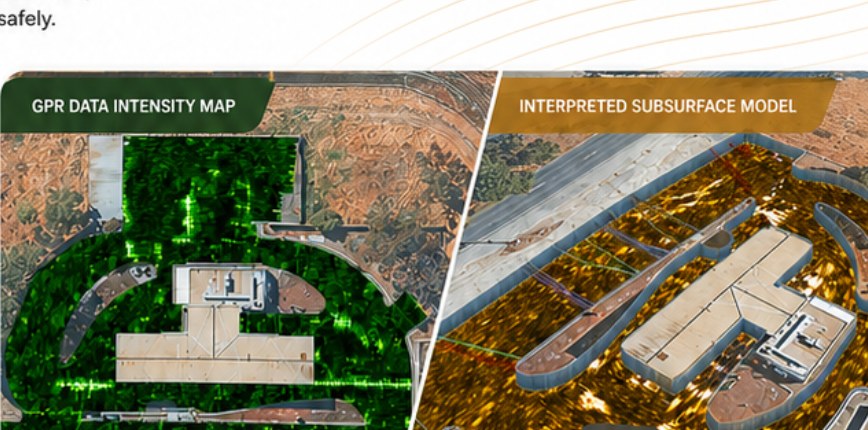
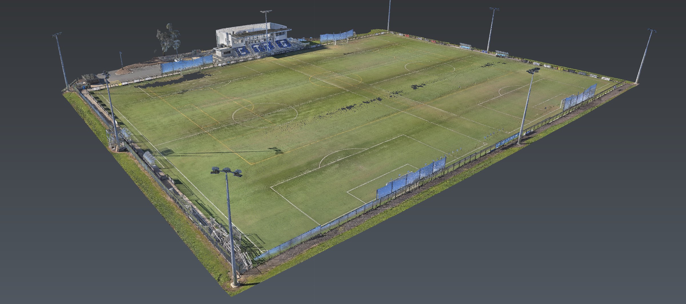
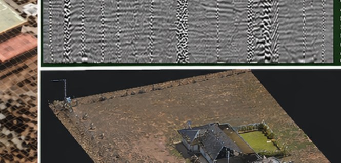
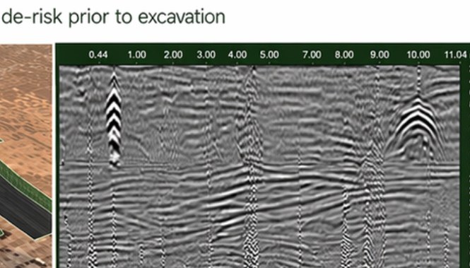
Stream DP GPR across the site, electromagnetic locating for conductive utilities, then processing and alignment of both datasets. Reality capture — photogrammetry and point cloud — so the interpretation sat on the ground as it is.
Unknown subsurface conditions characterised. Buried services and anomalies identified. Data resolved into clear, site-relevant information and a 3D site model for design coordination. Subsurface conditions defined in an otherwise unknown environment.
The product
Methods named. Clients not. Brief a site that looks like this one.
Next
Corridor, precinct, brownfield or a street with no records. Brief us from Adelaide. We work Australia-wide.